American Dam, El Paso

Map
Facts and practical information
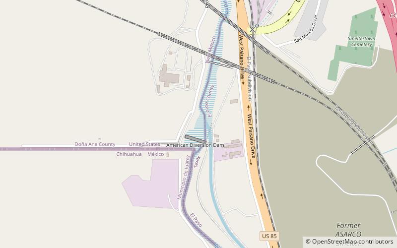
The American Dam, or American Diversion Dam, is a diversion dam on the Rio Grande in El Paso, Texas, that divides the river water between Mexico and the U.S. It is about 140 feet north of the point where the west bank of the river enters Mexico, 3.5 miles from the business center. The dam is operated by the International Boundary and Water Commission. It started operation in 1938. ()
Opened: 1938 (88 years ago)Length: 284 ftHeight: 18 ftCoordinates: 31°47'5"N, 106°31'41"W
Address
El Paso
ContactAdd
Social media
Add
Day trips
American Dam – popular in the area (distance from the attraction)
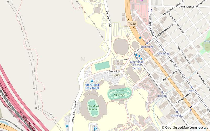
Nearby attractions include: Sun Bowl Stadium, American Canal, Stanlee and Gerald Rubin Center for the Visual Arts, University Field.
Frequently Asked Questions (FAQ)
How to get to American Dam by public transport?
The nearest stations to American Dam:
Bus
Bus
- Executive • Lines: Mesa Brio (33 min walk)


