West Second Street–Swartz Creek Bridge, Flint
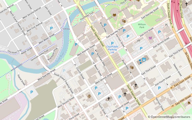
Map
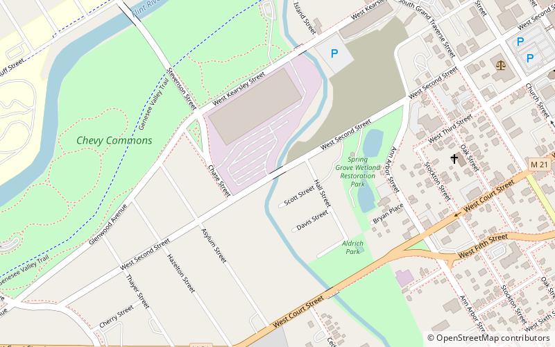
Map

Facts and practical information
The West Second Street–Swartz Creek Bridge in Flint, Michigan, carries West Second Street over Swartz Creek. It was listed on the National Register of Historic Places in 1999. ()
Built: 1919 (107 years ago)Coordinates: 43°0'39"N, 83°41'58"W
Address
Flint
ContactAdd
Social media
Add
Day trips
West Second Street–Swartz Creek Bridge – popular in the area (distance from the attraction)
Nearby attractions include: Flint Institute of Arts, Atwood Stadium, Flint Public Library, Capitol Theatre Building.
Frequently Asked Questions (FAQ)
Which popular attractions are close to West Second Street–Swartz Creek Bridge?
Nearby attractions include Chevy Commons, Flint (8 min walk), Atwood Stadium, Flint (12 min walk), Flint Local 432, Flint (13 min walk), First Presbyterian Church of Flint, Flint (14 min walk).
How to get to West Second Street–Swartz Creek Bridge by public transport?
The nearest stations to West Second Street–Swartz Creek Bridge:
Bus
Bus
- 14 • Lines: 12 (17 min walk)
- 2 • Lines: 5 (17 min walk)

