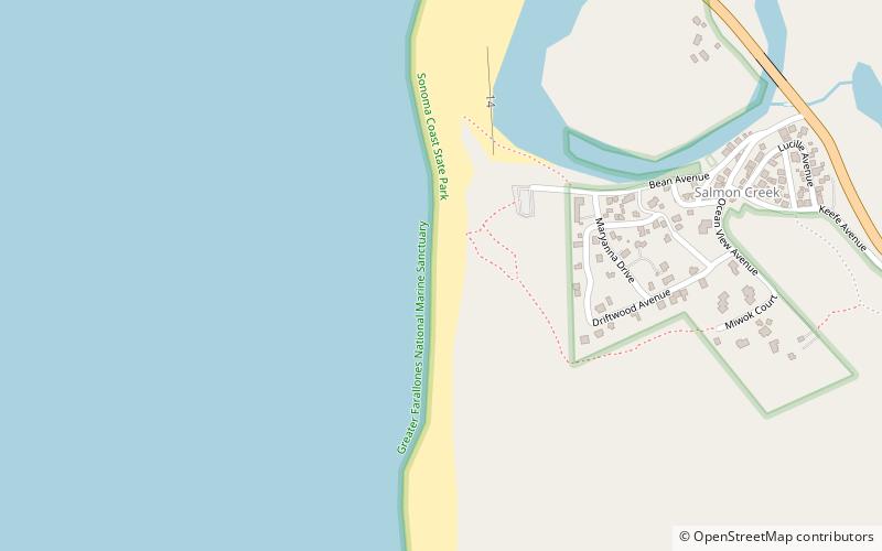
Sonoma Coast State Marine Conservation Area, Sonoma Coast State Park

Gallery (1)
Map
Map
Facts and practical information
Sonoma Coast State Marine Conservation Area is a protected area along the coast of northern California, part of the North Central Coast Study Region. ()
Coordinates: 38°20'57"N, 123°4'5"W
Address
Sonoma Coast State Park
ContactAdd
Social media
Add
Day trips


