Bodega Harbor, Bodega Bay

Gallery (1)
Map
Map
Facts and practical information
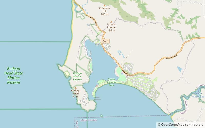
Bodega Harbor is a small, shallow, natural harbor on the Pacific coast of northern California in the United States, approximately 40 mi northwest of San Francisco. The harbor is approximately 2 sq mi in area. ()
Coordinates: 38°19'25"N, 123°2'53"W
Day trips


