Doran Regional Park, Bodega Bay
Map

Map

Facts and practical information
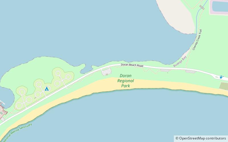
Doran Regional Park is a regional park south of Bodega Bay, California, U.S.A. that is maintained by the Sonoma County Regional Parks Department. It covers an area of 127 acres. It is located at 38.314°N 123.0428°W / 38.314; -123.0428 on the sand spit separating Bodega Harbor from Bodega Bay. The park address is 201 Doran Beach Road, Bodega Bay, CA. ()
Elevation: 3 ft a.s.l.Coordinates: 38°18'52"N, 123°2'35"W
Address
Hwy 1Bodega Bay
ContactAdd
Social media
Add
Day trips
Doran Regional Park – popular in the area (distance from the attraction)
Nearby attractions include: Tomales Point, Saint Teresa of Avila Church, Duncans Point, Bodega.


