Chicago Lakefront Trail, Chicago
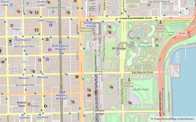
Map
Gallery
Facts and practical information
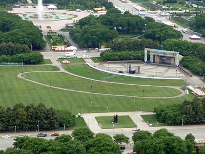
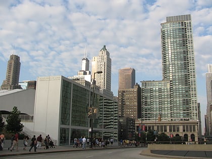
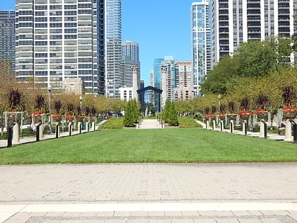
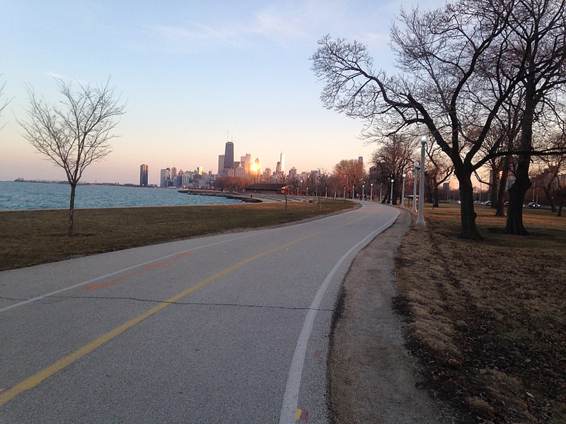
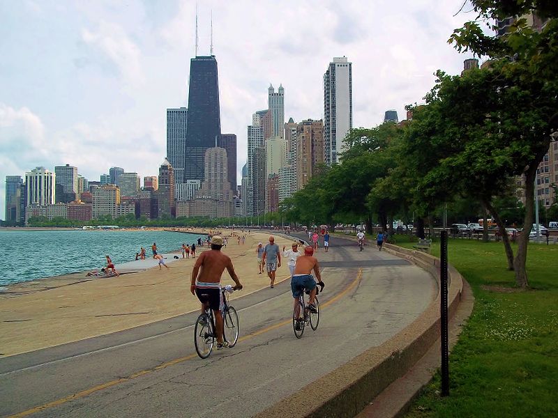
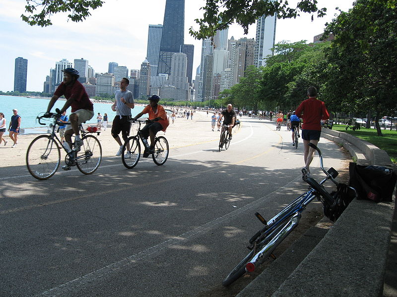
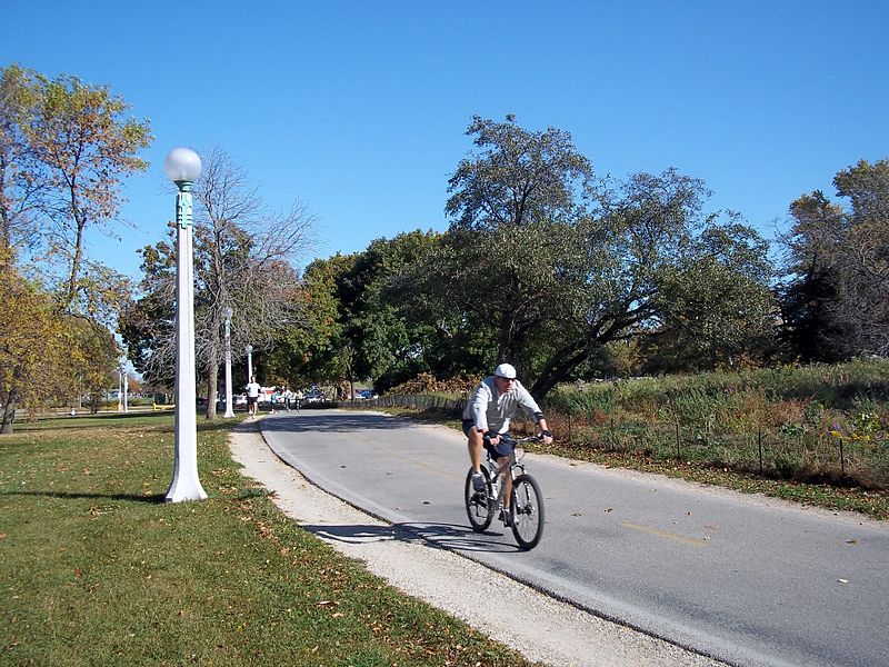
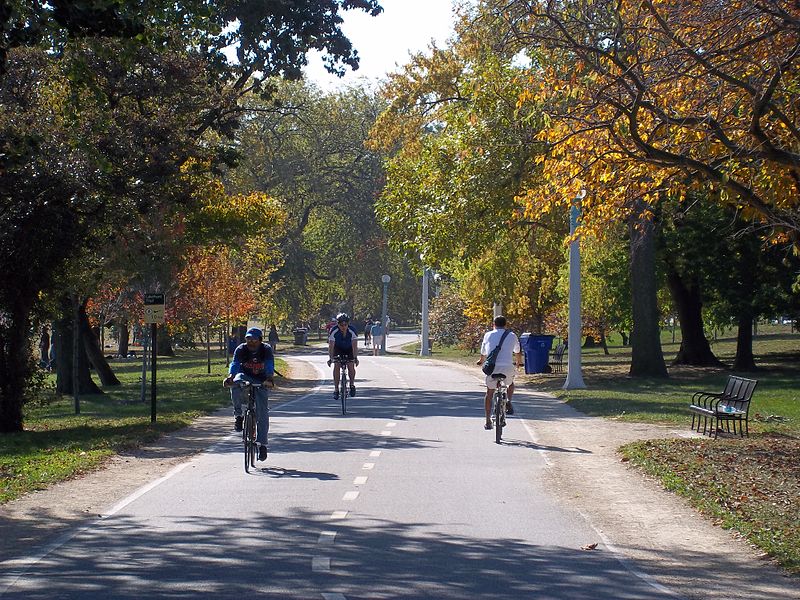
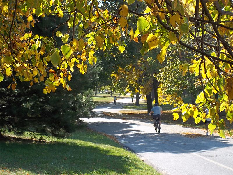
The Chicago Lakefront Trail is a 18.5-mile-long partial shared use path for walking, jogging, skateboarding, and cycling, located along the western shore of Lake Michigan in Chicago, Illinois. The trail passes through and connects Chicago's four major lakefront parks along with various beaches and recreational amenities. It also serves as a route for bicycle, skateboard and personal transporter commuters. On busy summer days 70,000 people use the trail. ()
Length: 18.5 miElevation: 574 ft a.s.l.Coordinates: 41°52'58"N, 87°36'51"W
Address
Downtown (The Loop)Chicago
ContactAdd
Social media
Add
Day trips
Chicago Lakefront Trail – popular in the area (distance from the attraction)
Nearby attractions include: Lurie Garden, Jay Pritzker Pavilion, BP Pedestrian Bridge, McCormick Tribune Plaza & Ice Rink.
Frequently Asked Questions (FAQ)
Which popular attractions are close to Chicago Lakefront Trail?
Nearby attractions include Richard and Annette Bloch Cancer Survivors Garden, Chicago (5 min walk), 400 East Randolph, Chicago (5 min walk), North Harbor Tower, Chicago (5 min walk), The Parkshore, Chicago (6 min walk).
How to get to Chicago Lakefront Trail by public transport?
The nearest stations to Chicago Lakefront Trail:
Bus
Train
Metro
Bus
- Harbor & Randolph • Lines: 60 (5 min walk)
- Harbor Point • Lines: 60 (5 min walk)
Train
- Millennium Station (13 min walk)
- Van Buren Street (16 min walk)
Metro
- Washington/Wabash • Lines: Brown, Green, Orange, Pink, Purple (16 min walk)
- Adams/Wabash • Lines: Brown, Green, Orange, Pink, Purple (17 min walk)


 Rail "L"


