Chestnut Street, Philadelphia
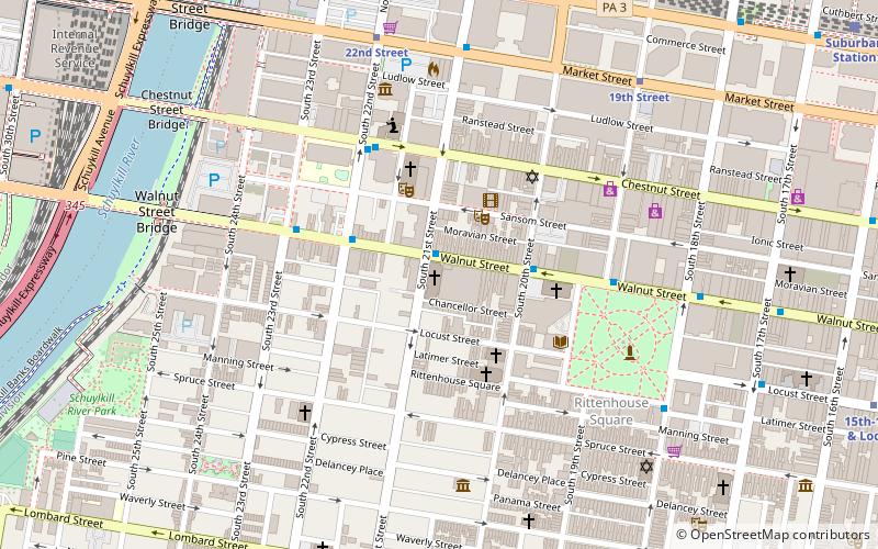
Map
Gallery
Facts and practical information
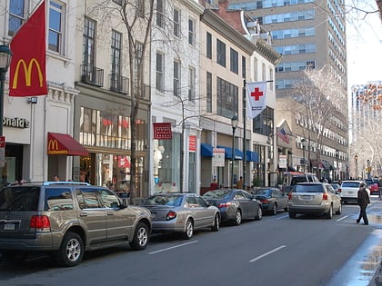
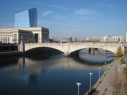
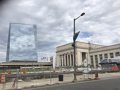
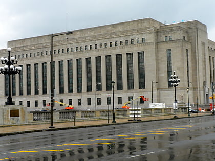
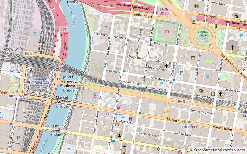
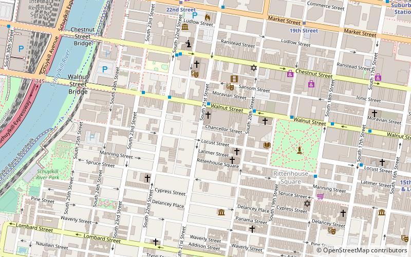
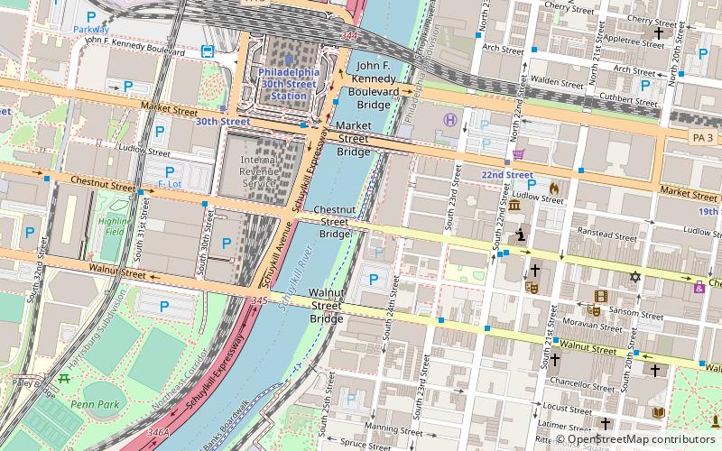
Chestnut Street is a major historic street in Philadelphia, Pennsylvania. It was originally named Wynne Street because Thomas Wynne's home was there. William Penn renamed it Chestnut Street in 1684. It runs east–west from the Delaware River waterfront in downtown Philadelphia through Center City and West Philadelphia. The road crosses the Schuylkill River on the Chestnut Street Bridge. It serves as eastbound Pennsylvania Route 3 between 63rd and 33rd Streets. ()
Length: 5.6 miCoordinates: 39°57'10"N, 75°10'49"W
Address
Center City (Center City West)Philadelphia
ContactAdd
Social media
Add
Day trips
Chestnut Street – popular in the area (distance from the attraction)
Nearby attractions include: Walnut Street, Mütter Museum, Market Street Bridge, First Unitarian Church of Philadelphia.
Frequently Asked Questions (FAQ)
Which popular attractions are close to Chestnut Street?
Nearby attractions include Chestnut Street Bridge, Philadelphia (2 min walk), Chestnut Street Bridge, Philadelphia (2 min walk), Schuylkill Banks, Philadelphia (3 min walk), Market Street Bridge, Philadelphia (3 min walk).
How to get to Chestnut Street by public transport?
The nearest stations to Chestnut Street:
Bus
Tram
Train
Metro
Bus
- Walnut St & 23rd St • Lines: 12, 9 (4 min walk)
- Bolt Bus (8 min walk)
Tram
- 22nd Street • Lines: 10, 11, 13, 34, 36 (6 min walk)
- 30th Street • Lines: 10, 11, 13, 34, 36 (6 min walk)
Train
- Philadelphia 30th Street Station (6 min walk)
- Penn Medicine (17 min walk)
Metro
- 30th Street • Lines: Mfl (7 min walk)
- 34th Street • Lines: Mfl (17 min walk)
 SEPTA Regional Rail