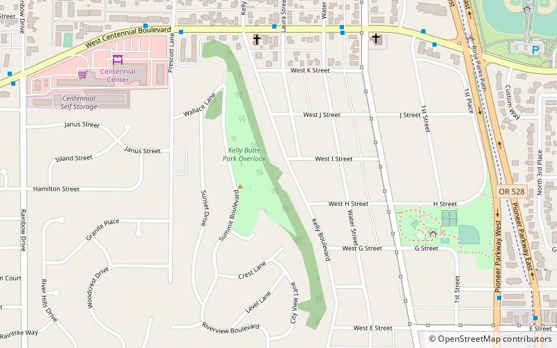
Kelly Butte, Springfield

Map
Facts and practical information
Kelly Butte is a hill in west Springfield, Oregon, United States. ()
Elevation: 469 ft a.s.l.Coordinates: 44°3'14"N, 123°1'48"W
Address
937 Summit BlvdEast Kelly ButteSpringfield
ContactAdd
Social media
Add
Day trips
Kelly Butte – popular in the area (distance from the attraction)
Nearby attractions include: Whilamut Passage Bridge, Knickerbocker Bicycle Bridge, Oakway Center, Richard E. Wildish Community Theater.
Frequently Asked Questions (FAQ)
Which popular attractions are close to Kelly Butte?
Nearby attractions include Washburne Historic District, Springfield (17 min walk), Richard E. Wildish Community Theater, Springfield (22 min walk).
How to get to Kelly Butte by public transport?
The nearest stations to Kelly Butte:
Bus
Bus
- Centennial Boulevard Station • Lines: EmX (10 min walk)
- Q Street Station Outbound • Lines: EmX (17 min walk)


