Walnut Lane Bridge, Philadelphia
Map

Map

Facts and practical information
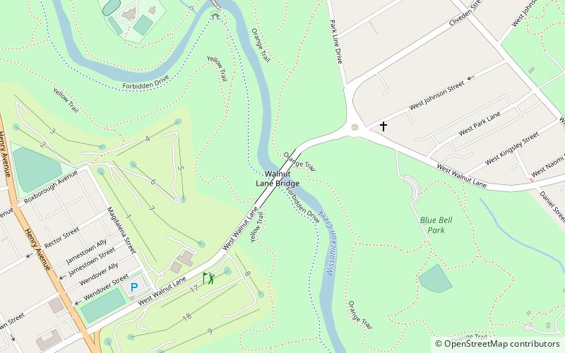
The Walnut Lane Bridge is a concrete arch bridge located in Northwest Philadelphia that connects the Germantown and Roxborough neighborhoods across the Wissahickon Creek in Fairmount Park. While drivers may cross the bridge too quickly to notice, the view from underneath the bridge has inspired many artists and writers, such as Christopher Morley. The design was copied from Pont Adolphe in Luxembourg. ()
Length: 585 ftWidth: 48 ftHeight: 147 ftCoordinates: 40°1'56"N, 75°11'59"W
Address
Upper Northwest (Wissahickon Park)Philadelphia
ContactAdd
Social media
Add
Day trips
Walnut Lane Bridge – popular in the area (distance from the attraction)
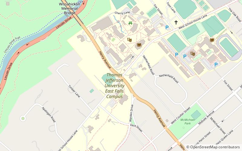
Nearby attractions include: Historic RittenhouseTown, Philadelphia University, Wissahickon Memorial Bridge, St. Josaphat Roman Catholic Church in Philadelphia.
Frequently Asked Questions (FAQ)
Which popular attractions are close to Walnut Lane Bridge?
Nearby attractions include Blue Bell Park, Philadelphia (4 min walk), Blue Bell Hill, Philadelphia (11 min walk), Historic RittenhouseTown, Philadelphia (14 min walk), Wissahickon Memorial Bridge, Philadelphia (16 min walk).
How to get to Walnut Lane Bridge by public transport?
The nearest stations to Walnut Lane Bridge:
Train
Train
- Tulpehocken (18 min walk)
- Upsal (22 min walk)

 SEPTA Regional Rail


