St. Josaphat Roman Catholic Church in Philadelphia, Philadelphia
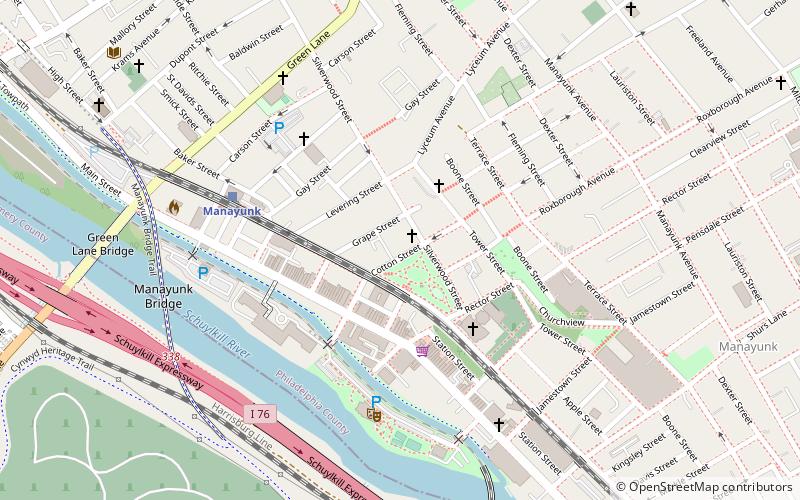
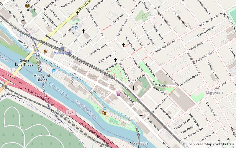
Map
Facts and practical information
St. Josaphat Roman Catholic Church in Philadelphia is located in the Manayunk section of Northwest Philadelphia at 124 Cotton Street. This parish was merged with those of St. John the Baptist and St. Mary of the Assumption in 2012. ()
Coordinates: 40°1'34"N, 75°13'18"W
Address
Lower Northwest (Manayunk)Philadelphia
ContactAdd
Social media
Add
Getting there by public transportation
Public transportation stops near this location
- Train
 Train
Train
- Calculate routeManayunk 6 min walk
- Calculate routeWissahickon 23 min walk
- Calculate routeIvy Ridge 24 min walk
Maps SEPTA Regional Rail
SEPTA Regional RailDay trips
St. Josaphat Roman Catholic Church in Philadelphia – popular in the area (distance from the attraction)
Nearby attractions include: Green Lane Bridge, Wissahickon Trail, West Laurel Hill Cemetery, Manayunk Bridge.


Frequently Asked Questions (FAQ)
Which popular attractions are close to St. Josaphat Roman Catholic Church in Philadelphia?
Nearby attractions include Pretzel Park, Philadelphia (2 min walk), Manayunk Wall, Philadelphia (3 min walk), Manayunk, Philadelphia (3 min walk), St. John the Baptist, Philadelphia (4 min walk).
How to get to St. Josaphat Roman Catholic Church in Philadelphia by public transport?
The nearest stations to St. Josaphat Roman Catholic Church in Philadelphia:
Train
Train
- Manayunk (6 min walk)
- Wissahickon (23 min walk)