San Francisco Center for the Book, San Francisco

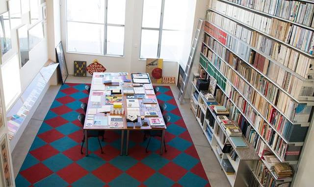
Gallery (1)
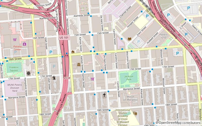
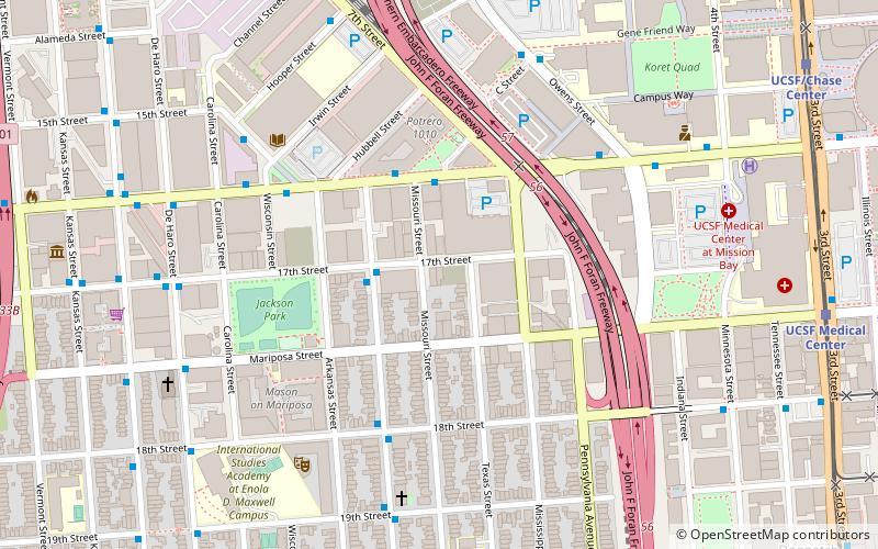
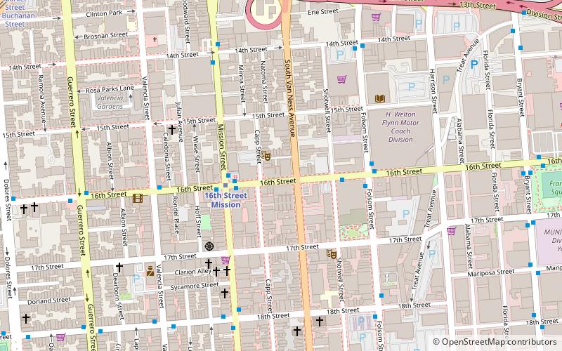
Map
Map
Facts and practical information
The San Francisco Center for the Book is a non-profit organization founded in 1996 by Mary Austin and Kathleen Burch in San Francisco, California in the United States. The first center of its kind on the West Coast, SFCB was modeled after two similar organizations, The Center for Book Arts in New York City and the Minnesota Center for Book Arts in Minneapolis. ()
Coordinates: 37°45'55"N, 122°24'7"W
Address
375 Rhode Island St (Between 16th and 17th Streets)Southeast San Francisco (Potrero Hill)San Francisco
Contact
Social media
Add
Getting there by public transportation
Public transportation stops near this location
- Metro
- Bus
- Trolleybus
- Tram
- Light rail
- Train
 Metro
Metro
- Calculate routeDe Haro Street & 16th Street 2 min walk
- Calculate routeRhode Island Street & 17th Street 2 min walk
- Calculate route16th Street & Rhode Island Street 2 min walk
- Calculate route16th Street & Rhode Island Street 2 min walk
- Calculate routeUCSF Medical Center 19 min walk
- Calculate routeUCSF/Chase Center 19 min walk
- Calculate route20th Street 21 min walk
- Calculate routeKing Street & 4th Street 21 min walk
- Calculate route22nd Street 20 min walk
- Calculate routeSan Francisco 4th & King Street 22 min walk
- Calculate route16th Street Mission 25 min walk
- Calculate routeCivic Center 30 min walk
- Calculate routeMarket Street & 9th Street 30 min walk
Maps Muni Metro
Muni MetroDay trips


Frequently Asked Questions (FAQ)
Which popular attractions are close to San Francisco Center for the Book?
Nearby attractions include Wattis Institute for Contemporary Arts, San Francisco (5 min walk), Catharine Clark Gallery, San Francisco (7 min walk), Bottom of the Hill, San Francisco (8 min walk), Letterform Archive, San Francisco (12 min walk).
How to get to San Francisco Center for the Book by public transport?
The nearest stations to San Francisco Center for the Book:
Bus
Trolleybus
Light rail
Train
Metro
Tram
Bus
- De Haro Street & 16th Street • Lines: 19 (2 min walk)
- Rhode Island Street & 17th Street • Lines: 19 (2 min walk)
Trolleybus
- 16th Street & Rhode Island Street • Lines: 22 (2 min walk)
Light rail
- UCSF Medical Center • Lines: T (19 min walk)
- UCSF/Chase Center • Lines: T (19 min walk)
Train
- 22nd Street (20 min walk)
- San Francisco 4th & King Street (22 min walk)
Metro
- 16th Street Mission • Lines: Blue, Green, Red, Yellow (25 min walk)
- Civic Center • Lines: Blue, Green, Red, Yellow (30 min walk)
Tram
- Market Street & 9th Street • Lines: F (30 min walk)