Downtown Oakland, Oakland
Map
Gallery
Facts and practical information
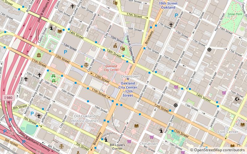
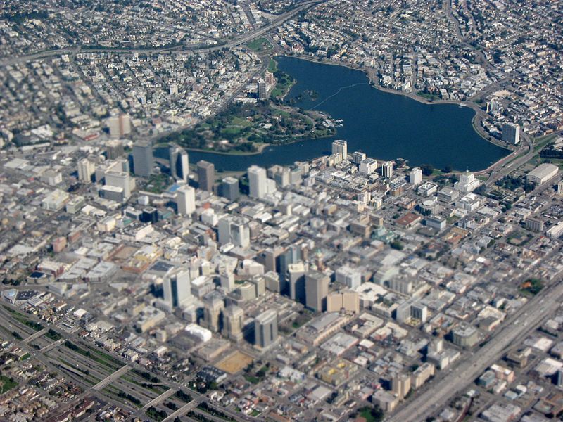
Downtown Oakland is the central business district of Oakland, California, United States; roughly bounded by both the Oakland Estuary and Interstate 880 on the southwest, Interstate 980 on the northwest, Grand Avenue on the northeast, and Lake Merritt on the east. ()
Coordinates: 37°48'13"N, 122°16'19"W
Address
Central Oakland (Downtown Oakland)Oakland
ContactAdd
Social media
Add
Day trips
Downtown Oakland – popular in the area (distance from the attraction)
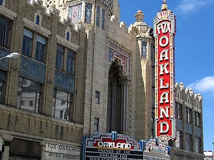
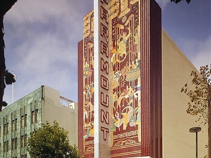
Nearby attractions include: Fox Theater, Paramount Theatre, Uptown Oakland, African American Museum and Library at Oakland.
Frequently Asked Questions (FAQ)
Which popular attractions are close to Downtown Oakland?
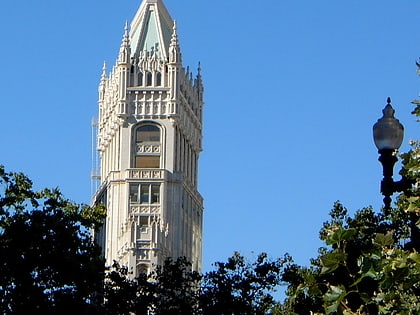
Nearby attractions include Tribune Tower, Oakland (2 min walk), Oakland East Bay Symphony, Oakland (3 min walk), Frank H. Ogawa Plaza, Oakland (3 min walk), The Joyce Gordon Gallery, Oakland (3 min walk).
How to get to Downtown Oakland by public transport?
The nearest stations to Downtown Oakland:
Metro
Bus
Train
Ferry
Metro
- Oakland City Center - 12th Street • Lines: Orange, Red, Yellow (1 min walk)
- 19th Street Oakland • Lines: Orange, Red, Yellow (10 min walk)
Bus
- Broadway & 13th Street • Lines: 12, 51A, 72, 72M, 72R, 802, 851 (1 min walk)
- 12th Street & Broadway • Lines: 1, 19, 20, 29, 33, 40, 840, 88 (1 min walk)
Train
- Oakland-Jack London Square (18 min walk)
Ferry
- Oakland Jack London Square Terminal • Lines: San Francisco Bay Ferry (20 min walk)

