Mount Williamson, John Muir Wilderness
#5 among attractions in John Muir Wilderness


Facts and practical information
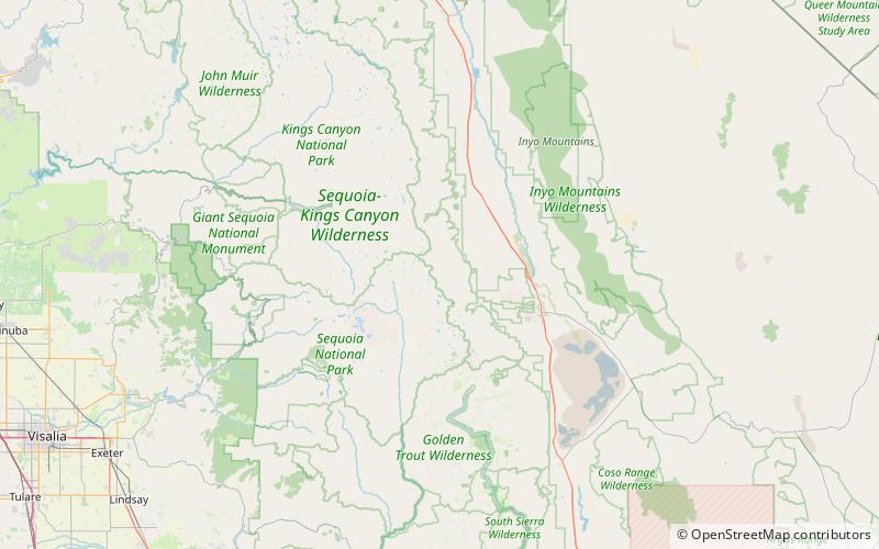
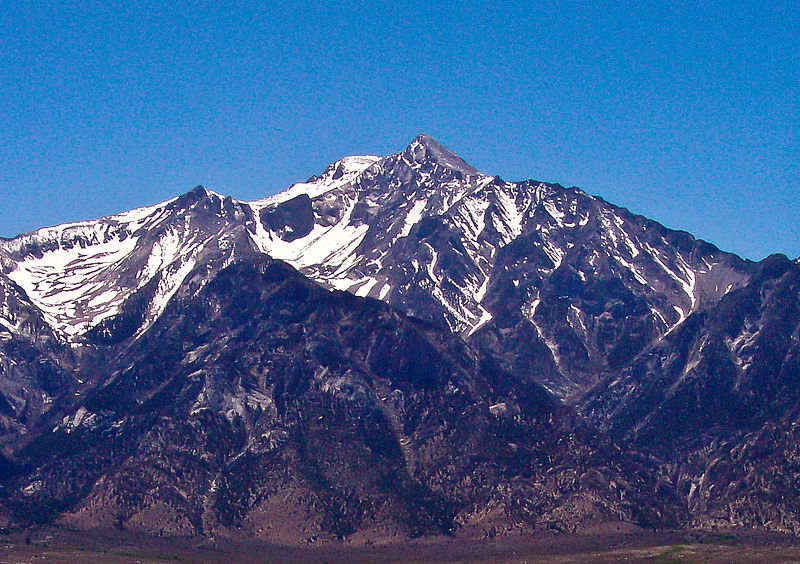
Mount Williamson, at an elevation of 14,379 feet, is the second-highest mountain in both the Sierra Nevada range and the state of California, and the sixth-highest peak in the contiguous United States. ()
John Muir Wilderness United States
Mount Williamson – popular in the area (distance from the attraction)
Nearby attractions include: Pacific Crest Trail, East Face, Footpath, Mount Carillon.
 Hiking, Hiking trail
Pacific Crest Trail, Kings Canyon National Park
110 min walk • The Pacific Crest Trail, officially designated as the Pacific Crest National Scenic Trail, is a long-distance hiking and equestrian trail closely aligned with the highest portion of the Cascade and Sierra Nevada mountain ranges, which lie 100 to 150 miles east of the U.S.
 Hiking trail, Outdoor activities, Park
East Face, Mount Whitney
140 min walk • The East Face of Mount Whitney is a technical alpine rock climbing route and is featured in Fifty Classic Climbs of North America. Mount Whitney is the highest peak in the contiguous United States.
 Hiking, Hiking trail
Footpath, Kings Canyon National Park
110 min walk • A footpath is a type of thoroughfare that is intended for use only by pedestrians and not other forms of traffic such as motorized vehicles, cycles, and horses. They can be found in a wide variety of places, from the centre of cities, to farmland, to mountain ridges.
 Mountain
Mount Carillon, Mount Whitney
122 min walk • Mount Carillon is a 13,553-foot-elevation mountain summit located on the crest of the Sierra Nevada mountain range in California.
 Mountain
Mount Randy Morgenson, Mount Whitney
115 min walk • Mount Randy Morgenson is a 13,927-foot-elevation mountain summit located along the crest of the Sierra Nevada mountain range in Tulare County, California. It is situated in Sequoia National Park, one mile north-northwest of Mount Whitney, 0.85 mile east of Mount Hale, and one-half mile west of Mount Russell, the nearest higher neighbor.
 Mountain
Center Peak, Kings Canyon National Park
137 min walk • Center Peak is a 12,760-foot-elevation mountain summit located one mile west of the crest of the Sierra Nevada mountain range, in the northeast corner of Tulare County in northern California.
 Mountain
Mount Young, Mount Whitney
134 min walk • Mount Young is a 13,176-foot-elevation mountain summit located west of the crest of the Sierra Nevada mountain range in Tulare County, California. It is situated in Sequoia National Park, and is two miles west of Mount Whitney, one mile northwest of Guitar Lake, and one mile southwest of Mount Hale, the nearest higher neighbor.
 Mountain
Mount Versteeg, Mount Whitney
26 min walk • Mount Versteeg is a 13,471-foot-elevation mountain summit located on the crest of the Sierra Nevada mountain range in California. It is situated on the common border of Tulare County with Inyo County, as well as the shared boundary of Sequoia National Park and John Muir Wilderness.
 Nature, Natural attraction, Mountain
Mount Russell, Sequoia and Kings Canyon National Parks
120 min walk • Mount Russell is a peak in the Sierra Nevada mountain range in the U.S. state of California, about 0.8 miles north of Mount Whitney. With an elevation of 14,094 feet it is the seventh-highest peak in the state.
 Nature, Natural attraction, Mountain
Mount Tyndall, Sequoia and Kings Canyon National Parks
37 min walk • Mount Tyndall is a peak in the Mount Whitney region of the Sierra Nevada in the U.S. state of California. At 14,025 feet, it is the tenth highest peak in the state. The mountain was named in honor of the Irish scientist and mountaineer, John Tyndall.
 Nature, Natural attraction, Mountain
Mount Stanford, Kings Canyon National Park
147 min walk • Mount Stanford, at an elevation of 13,979 feet, is on the Kings-Kern Divide in Kings Canyon National Park. It is named for Stanford University.
