Pacific Crest Trail, Kings Canyon National Park

Gallery (10)
Map

Map

Gallery
Facts and practical information
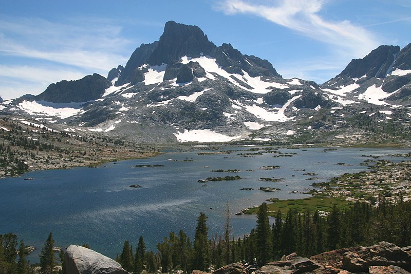
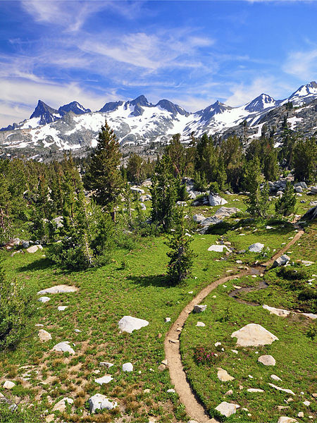
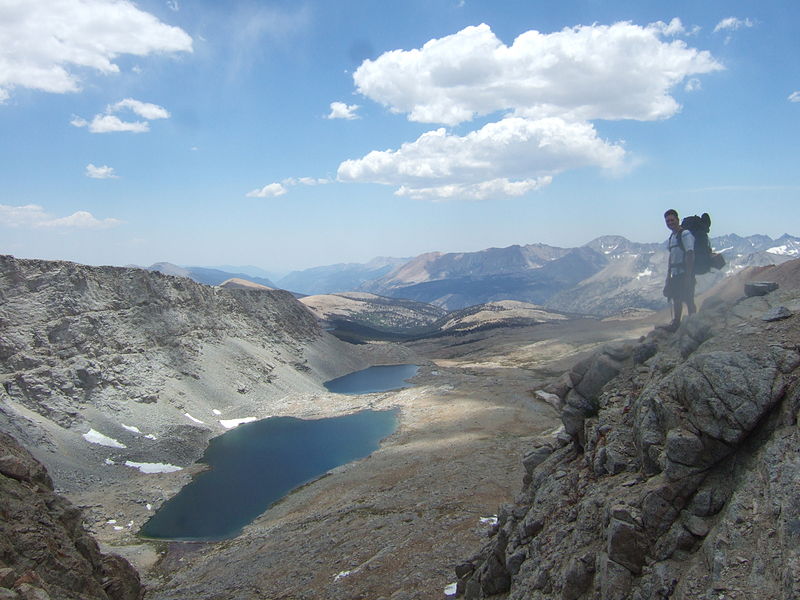
The Pacific Crest Trail, officially designated as the Pacific Crest National Scenic Trail, is a long-distance hiking and equestrian trail closely aligned with the highest portion of the Cascade and Sierra Nevada mountain ranges, which lie 100 to 150 miles east of the U.S. Pacific coast. The trail's southern terminus is just south of Campo, California by the U.S. border with Mexico, and its northern terminus is on the Canada–US border on the edge of Manning Park in British Columbia; it passes through the states of California, Oregon, and Washington. ()
Day trips


Frequently Asked Questions (FAQ)
Which popular attractions are close to Pacific Crest Trail?
Nearby attractions include Forester Pass, Kings Canyon National Park (1 min walk), Junction Peak, Sequoia and Kings Canyon National Parks (12 min walk).