Trek Zone

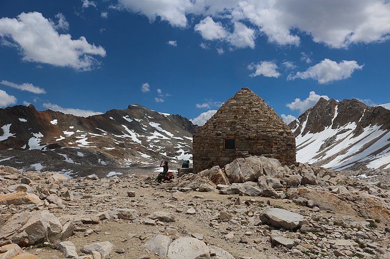
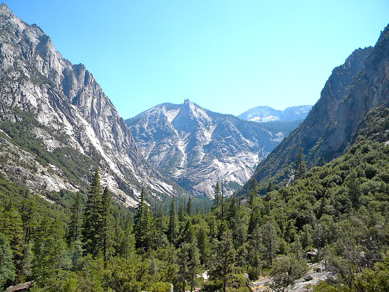
Footpath, Kings Canyon National Park

#3 among attractions in Kings Canyon National Park

Hiking, Hiking trail
Footpath

Facts and practical information
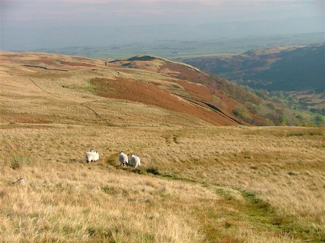
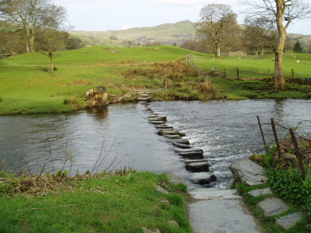
Alternative names: Coordinates: 36°41'39"N, 118°22'19"W
Address

Kings Canyon National Park United States

ContactAdd
Social media
Add

Kings Canyon National Park plan & book

Unleash the traveler in you — discover the cheapest flight deals, find the perfect hotel or hostel nearby, and search for the best car rental prices. Travel at your own pace to discover new places and enjoy your journey.

Day trips

Footpath – popular in the area (distance from the attraction)

Nearby attractions include: Pacific Crest Trail, East Vidette, Mount Williamson, West Vidette.

  • pacific crest trail kings canyon national park~0 ftN
  • east vidette kings canyon national park3.8 miNW
  • mount williamson john muir wilderness4.3 miSE
  • west vidette kings canyon national park3.8 miNW
  • center peak kings canyon national park2 miN
  • mount genevra3.5 miW
  • mount versteeg mount whitney4.1 miSE
  • mount jordan kings canyon national park4.4 miW
  • mount tyndall sequoia and kings canyon national parks3.3 miSE
  • mount stanford kings canyon national park1.5 miNW
  • kearsarge pinnacles kings canyon national park4.5 miN

Frequently Asked Questions (FAQ)

Which popular attractions are close to Footpath?

Nearby attractions include Forester Pass, Kings Canyon National Park (1 min walk), Junction Peak, Sequoia and Kings Canyon National Parks (12 min walk).

Where to next? Visit california California region page or discover the top tourist attractions in United States.