Mount Lukens, Angeles National Forest
Map

Map

Facts and practical information
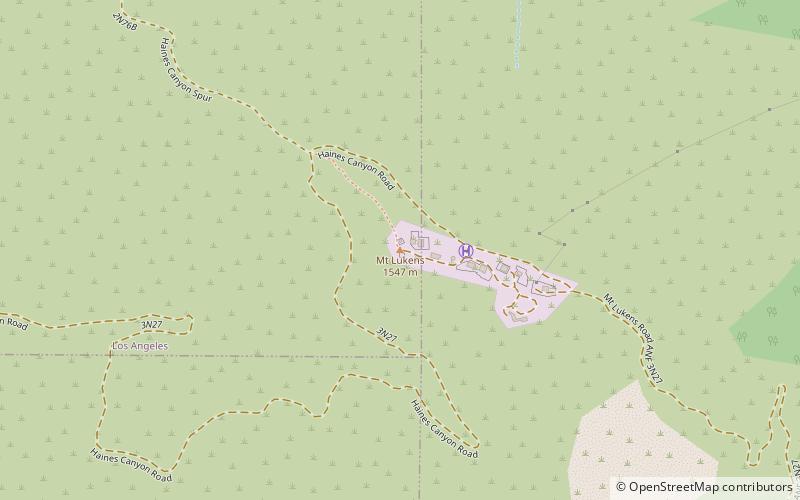
Mount Lukens is a mountain peak of the San Gabriel Mountains, in Los Angeles County, Southern California. ()
Elevation: 5075 ftProminence: 1794 ftCoordinates: 34°16'8"N, 118°14'20"W
Address
Angeles National Forest
ContactAdd
Social media
Add
Day trips
Mount Lukens – popular in the area (distance from the attraction)
Nearby attractions include: Descanso Gardens, La Canada Flintridge Country Club, Lanterman House, Verdugo Mountains.


