Buffalo: Neighbourhood
Places and attractions in the Neighbourhood category
Categories
- Church
- Museum
- Park
- Neighbourhood
- Gothic Revival architecture
- Architecture
- History museum
- Lighthouse
- Nightlife
- Sport
- Sport venue
- Historical place
- Ship
- Sacred and religious sites
- Concerts and shows
- Art gallery
- Cemetery
- Monuments and statues
- Music venue
- Universities and schools
- Colonial revival architecture
- Italianate architecture
- Theater
- Skyscraper
- Music and shows
- Romanesque revival architecture
- Neoclassical architecture
Elmwood Historic District–East
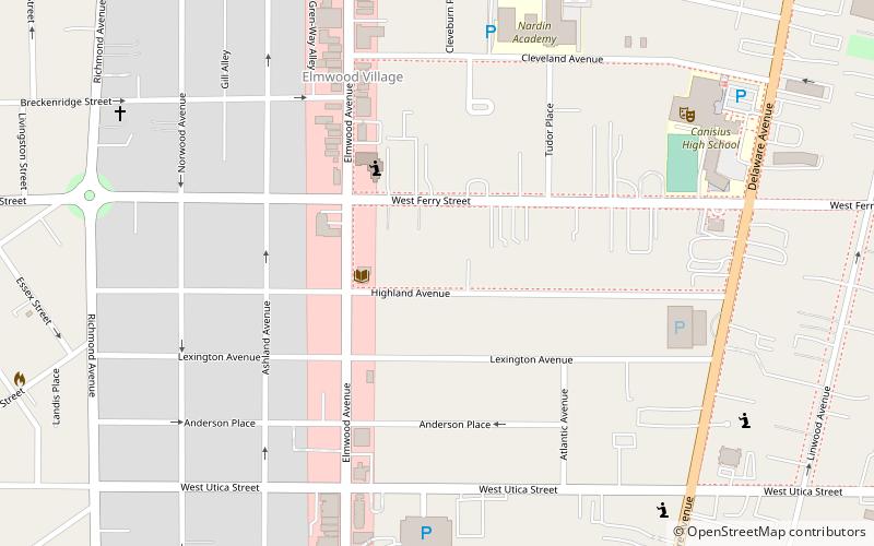
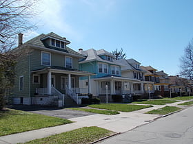
Elmwood Historic District–East is a national historic district located at Buffalo, Erie County, New York. The district encompasses 2,405 contributing buildings, 31 contributing structures, and 14 contributing objects in the Elmwood Village neighborhood of Buffalo.
Hamlin Park Historic District
Hamlin Park Historic District is a national historic district and neighborhood located at Buffalo in Erie County, New York. The district encompasses 1,368 contributing buildings, 3 contributing sites, and 6 contributing structures in a predominantly residential section of Buffalo.
Fargo Estate Historic District
Fargo Estate Historic District is a national historic district located at Buffalo, Erie County, New York. The district encompasses 390 contributing buildings, 1 contributing site, and 2 contributing objects on the Lower West Side of Buffalo.
West Village Historic District
West Village Historic District is a national historic district located at Buffalo in Erie County, New York. The district is a 19th-century residential neighborhood within walking distance of the central business district and Lake Erie.
Market Square Historic District
Market Square Historic District is a national historic district located in the Black Rock neighborhood of Buffalo in Erie County, New York.
Delaware Avenue Historic District
Delaware Avenue Historic District is a national historic district located at Buffalo, New York, United States, and Erie County. It is located along the west side of Delaware Avenue between North Street to the South and Bryant Street to the North.
Parkside East Historic District
Parkside East Historic District is a national historic district located at Buffalo in Erie County, New York. The district is architecturally and historically significant for its association with the 1876 Parks and Parkways Plan for the city of Buffalo developed by Frederick Law Olmsted.
Black Rock
Black Rock, once an independent municipality, is now a neighborhood of the northwest section of the city of Buffalo, New York.
Parkside West Historic District
Parkside West Historic District is a national historic district located at Buffalo in Erie County, New York. The district is architecturally and historically significant for its association with the 1876 Parks and Parkways Plan for the city of Buffalo developed by Frederick Law Olmsted in 1876.
University Park Historic District
University Park Historic District is a national historic district located in the University Heights neighborhood of Buffalo in Erie County, New York.
East Side
The East Side is a large district of Buffalo, New York, and the city's physically largest neighborhood. It is bordered by Main Street to the north and west, I-190 and the Kaisertown neighborhood to the south, and the town of Cheektowaga to the east.
South Buffalo
South Buffalo is a neighborhood that makes up the southern third of the City of Buffalo, New York. Traditionally known for its large Irish-American community, this community also has a strong presence of various other nationalities.
Fruit Belt
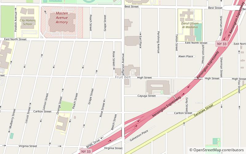
The Fruit Belt is a residential neighborhood in Buffalo, New York. It is located adjacent to the Buffalo Niagara Medical Campus.
Larkinville
Larkinville, also known as The Hydraulics, is an area of Buffalo, New York located near downtown, South Buffalo and Canalside. Once an industrial neighborhood, it is now home to offices, shops, and a public gathering space called Larkin Square that regularly features food trucks, events, and concerts.
Elmwood Historic District–West
Elmwood Historic District–West is a national historic district located at Buffalo, Erie County, New York. The district encompasses 1,971 contributing buildings, 4 contributing structures, and 13 contributing objects in the Elmwood Village neighborhood of Buffalo.
Stone Farmhouse
Stone Farmhouse is an historic home located at Buffalo in Erie County, New York. It is a Greek Revival influenced stone vernacular farmhouse. It is a two-story, rectangular hipped roof structure measuring approximately 40 feet wide and 50 feet deep.
Pierce Arrow Factory Complex
Pierce Arrow Factory Complex is a national historic district consisting of the former Pierce-Arrow automobile factory located at Buffalo in Erie County, New York.
J. N. Adam–AM&A Historic District
J. N. Adam–AM&A Historic District is a national historic district located at Buffalo in Erie County, New York.
Robert T. Coles House and Studio
Robert T. Coles House and Studio is a historic home and architectural design studio located at Buffalo in Erie County, New York. It was designed and built in 1961, by locally prominent African American architect Robert T. Coles. It consists of two prefabricated rectangular units arranged in an "L"-shape in the Modern style.
North Park
North Park is a neighborhood within the City of Buffalo in New York State. It is one of several neighborhoods that comprise the larger community of North Buffalo.
East Lovejoy
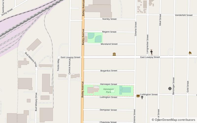
The Lovejoy District is a neighborhood in Buffalo, New York. Lovejoy is the easternmost portion of the city, running along the city's border with Cheektowaga. The councilman of the area in 2017 is Richard Fontana.
Map

