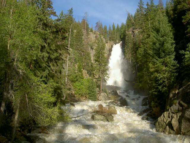
Fish Creek Falls, Medicine Bow–Routt National Forest

Gallery (2)
Map
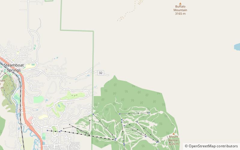
Map
Gallery
Facts and practical information
Fish Creek Falls is a waterfall located about 5 miles to the east of Steamboat Springs, Colorado, in Routt National Forest. Fish Creek runs from several small lakes in the Rabbit Ears Range of Colorado. ()
Height: 283 ftElevation: 7608 ft a.s.l.Coordinates: 40°28'53"N, 106°46'16"W
Address
Fish Creek Falls RoadMedicine Bow–Routt National Forest 80477
Contact
+1 970-871-9151
Social media
Add
Day trips


