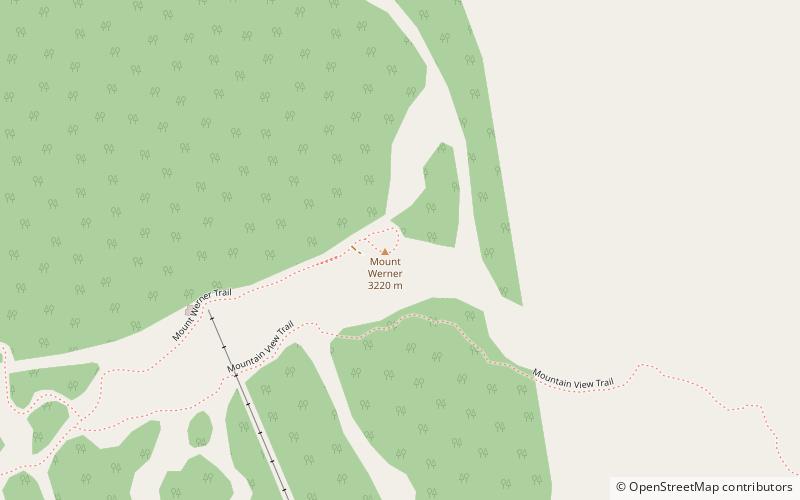
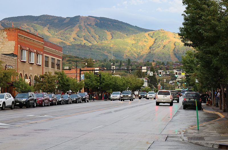
Mount Werner, Steamboat Springs

Gallery (2)
Map
Map
Gallery
Facts and practical information
Mount Werner is a mountain summit in the Park Range of the Rocky Mountains of North America. The 10,570-foot peak is located in Routt National Forest, 4.6 miles east-southeast of the City of Steamboat Springs in Routt County, Colorado, United States. The mountain was renamed in 1964 in honor of skier Buddy Werner. ()
Elevation: 10570 ftCoordinates: 40°27'22"N, 106°44'24"W
Day trips


