State Forest State Park, Mount Zirkel Wilderness
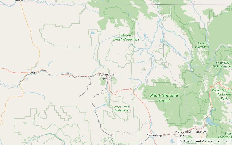
Map

Map

Facts and practical information
State Forest State Park is a Colorado State Park located in Jackson and Larimer counties east of Walden, Colorado, United States. The 70,838-acre park was established in 1970 in the Medicine Bow Range of the Rocky Mountains. Facilities include a visitors' center, 187 campsites, over 60 dispersed camping sites, 15 cabins and yurts, picnic sites, boat ramps and 94 miles of hiking trails. ()
Established: 1970 (56 years ago)Coordinates: 40°30'41"N, 106°44'35"W
Address
Mount Zirkel Wilderness
ContactAdd
Social media
Add
Day trips
State Forest State Park – popular in the area (distance from the attraction)
Nearby attractions include: Howelsen Hill Ski Area, Steamboat Ski Resort, Fish Creek Falls, Old Town Hot Springs.


