Jefferson Rock, Harpers Ferry
Map

Gallery

Facts and practical information
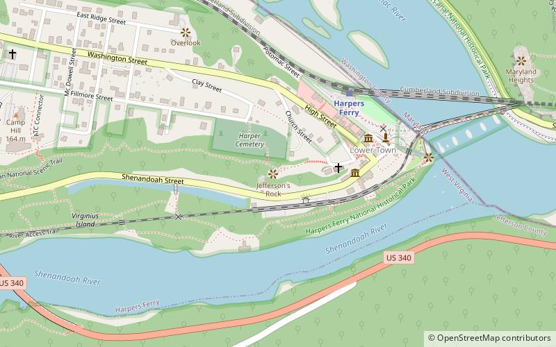
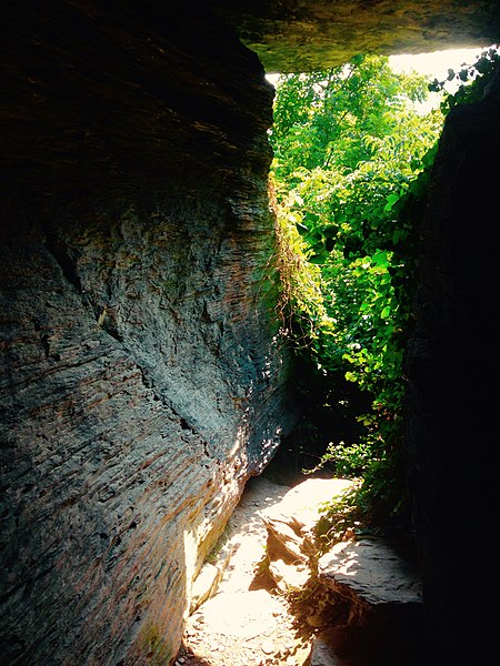
Jefferson Rock is a rock formation on the Appalachian Trail in Harpers Ferry, West Virginia. It consists of several large masses of Harpers shale, piled one upon the other, that overlook the Shenandoah River just prior to its confluence with the Potomac River. It was added to the National Register of Historic Places as a contributing property of the Harpers Ferry National Historical Park on October 15, 1966. ()
Coordinates: 39°19'21"N, 77°43'60"W
Address
Harpers Ferry
ContactAdd
Social media
Add
Day trips
Jefferson Rock – popular in the area (distance from the attraction)
Nearby attractions include: Harpers Ferry National Historical Park, John Brown's Fort, Heyward Shepherd monument, St. Peter's Roman Catholic Church.
Frequently Asked Questions (FAQ)
Which popular attractions are close to Jefferson Rock?
Nearby attractions include St. Peter's Roman Catholic Church, Harpers Ferry (3 min walk), Heyward Shepherd monument, Harpers Ferry (5 min walk), John Brown's Fort, Harpers Ferry (6 min walk), B & O Railroad Potomac River Crossing, Harpers Ferry (7 min walk).
How to get to Jefferson Rock by public transport?
The nearest stations to Jefferson Rock:
Bus
Train
Bus
- NPS Shuttle Bus Station • Lines: Park Shuttle (2 min walk)
Train
- Harpers Ferry (5 min walk)


