Loudoun Heights, Harpers Ferry
Map

Gallery

Facts and practical information
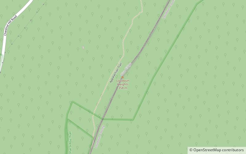
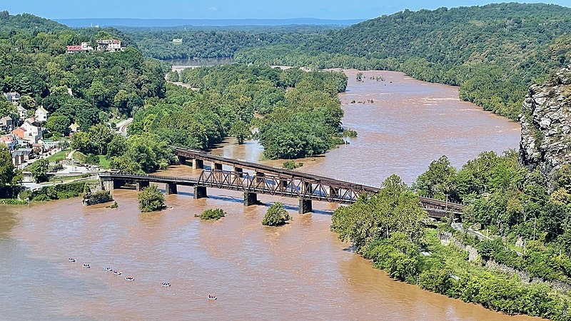
Loudoun Heights, sometimes referred to as Loudoun Mountain, is the first peak of the Blue Ridge Mountain south of the Potomac River in Loudoun County, Virginia and Jefferson County, West Virginia. The northwestern slope is part of Harpers Ferry National Historical Park. ()
Coordinates: 39°18'28"N, 77°44'19"W
Address
Harpers Ferry
ContactAdd
Social media
Add
Day trips
Loudoun Heights – popular in the area (distance from the attraction)
Nearby attractions include: Harpers Ferry National Historical Park, John Brown's Fort, Heyward Shepherd monument, St. Peter's Roman Catholic Church.
Frequently Asked Questions (FAQ)
How to get to Loudoun Heights by public transport?
The nearest stations to Loudoun Heights:
Bus
Train
Bus
- NPS Shuttle Bus Station • Lines: Park Shuttle (30 min walk)
Train
- Harpers Ferry (32 min walk)


