Potomac Water Gap, Harpers Ferry
Map

Gallery

Facts and practical information
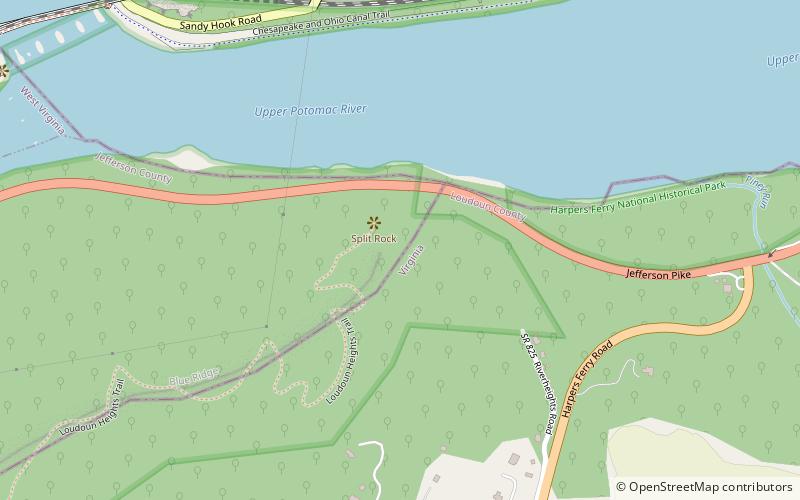
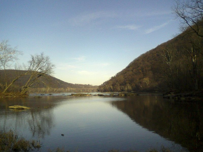
The Potomac Water Gap is a double water gap in the Blue Ridge Mountains, located at the intersection of the states of Virginia, West Virginia and Maryland, near Harpers Ferry. At 256 feet, it is the lowest crossing of the Blue Ridge Mountains. ()
Coordinates: 39°19'12"N, 77°43'12"W
Address
Harpers Ferry
ContactAdd
Social media
Add
Day trips
Potomac Water Gap – popular in the area (distance from the attraction)
Nearby attractions include: Harpers Ferry National Historical Park, John Brown's Fort, Heyward Shepherd monument, St. Peter's Roman Catholic Church.
Frequently Asked Questions (FAQ)
Which popular attractions are close to Potomac Water Gap?
Nearby attractions include John Brown's Fort, Harpers Ferry (14 min walk), B & O Railroad Potomac River Crossing, Harpers Ferry (14 min walk), Heyward Shepherd monument, Harpers Ferry (15 min walk), St. Peter's Roman Catholic Church, Harpers Ferry (17 min walk).
How to get to Potomac Water Gap by public transport?
The nearest stations to Potomac Water Gap:
Train
Bus
Train
- Harpers Ferry (17 min walk)
Bus
- NPS Shuttle Bus Station • Lines: Park Shuttle (18 min walk)


