Bus depots of MTA Regional Bus Operations, New York City
Facts and practical information
MTA Regional Bus Operations operates local and express buses serving New York City in the United States out of 29 bus depots. These depots are located in all five boroughs of the city, with the exception of one located in nearby Yonkers in Westchester County. 21 of these depots serve MTA New York City Transit 's bus operations, while the remaining eight serve the MTA Bus Company These facilities perform regular maintenance, cleaning, and painting of buses, as well as collection of revenue from bus fareboxes. Several of these depots were once car barns for streetcars, while others were built much later and have only served buses. Employees of the depots are represented by local divisions of the Transport Workers Union of America, particularly the TWU Local 100 and 101, or of the Amalgamated Transit Union 's Local's 726 for all depots in Staten Island, 1056 for Casey Stengel, Jamaica, and Queens Village Depots, and 1179 for JFK & Far Rockaway Depots. ()
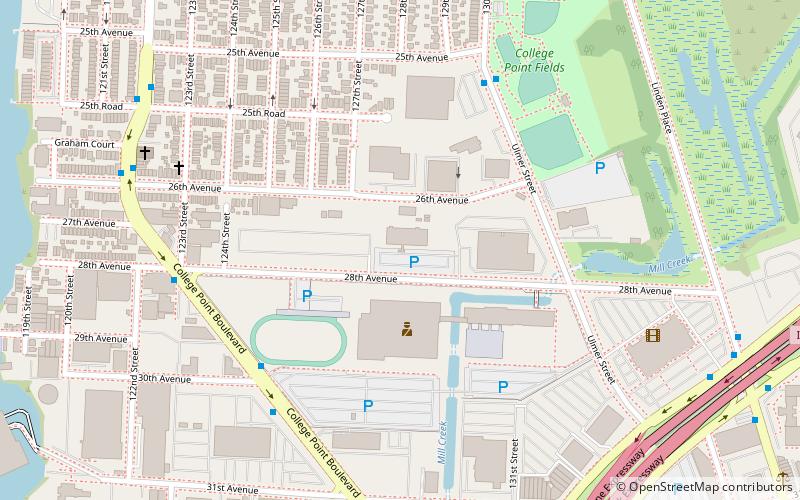
Northeastern Queens (College Point)New York City
- Metro
- Bus
- Train
 Metro
Metro
- Calculate routeUlmer Street & 25th Avenue 6 min walk
- Calculate routeWhitestone Expressway - Service Road West & Linden Place 10 min walk
- Calculate route31st Road & 138th Street 15 min walk
- Calculate route20th Avenue & 127th Street 15 min walk
- Calculate routeFlushing–Main Street 29 min walk
- Calculate routeFlushing–Main Street 30 min walk
 SubwayMaps
 Manhattan Buses


Frequently Asked Questions (FAQ)
Which popular attractions are close to Bus depots of MTA Regional Bus Operations?
How to get to Bus depots of MTA Regional Bus Operations by public transport?
Bus
- Ulmer Street & 25th Avenue • Lines: Q25 (6 min walk)
- Whitestone Expressway - Service Road West & Linden Place • Lines: Qm2, Qm20, Qm32 (10 min walk)
Metro
- Flushing–Main Street • Lines: <7>, 7 (29 min walk)
Train
- Flushing–Main Street (30 min walk)