Echo Valley, Yosemite National Park
#159 among attractions in Yosemite National Park
Facts and practical information
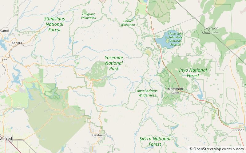
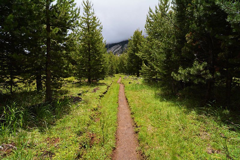
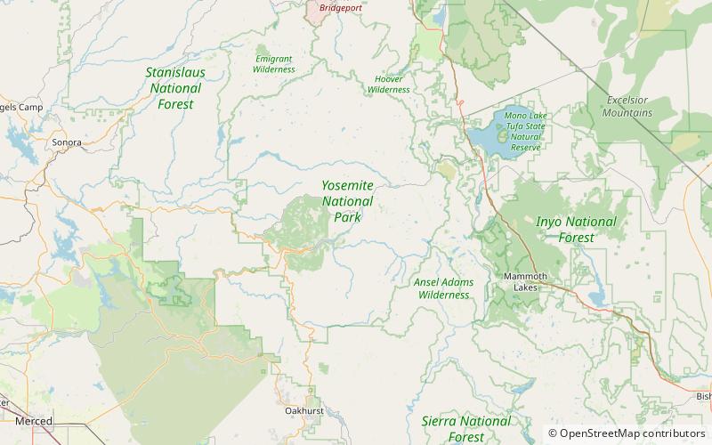
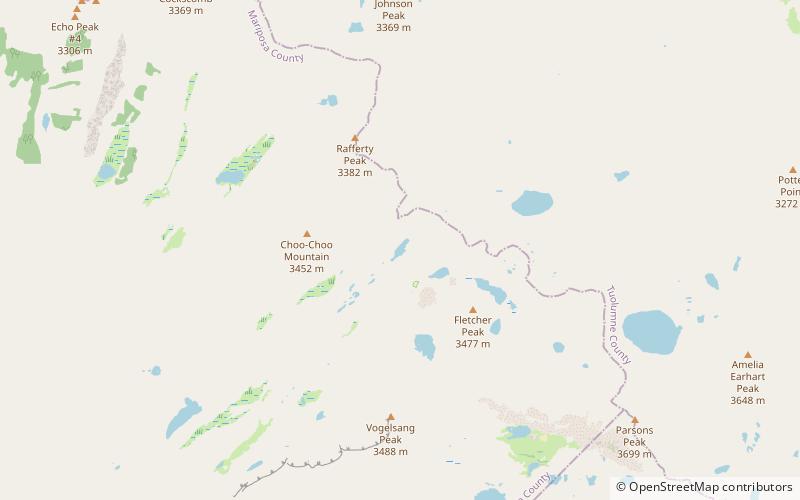
Echo Valley is a valley in Yosemite National Park, at an elevation of 7,021 feet. It is located along Echo Creek, about 3 miles west of Merced Lake, at 37°44′38″N 119°26′03″W. It is bounded on the south by the Merced River. ()
Yosemite National Park United States
Echo Valley – popular in the area (distance from the attraction)
Nearby attractions include: Half Dome, Nevada Fall, Clouds Rest, Snow Creek Falls.
 Yosemite's iconic dome and climbing spot
Half Dome, Yosemite National Park
138 min walk • Half Dome is a granite dome at the eastern end of Yosemite Valley in Yosemite National Park, California. It is a well-known rock formation in the park, named for its distinct shape.
 Cascading waterfall with trails and views
Nevada Fall, Yosemite West
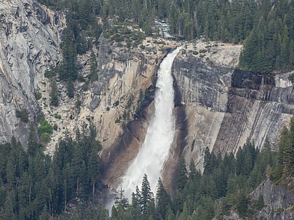
142 min walk • Nevada Fall is a breathtaking natural wonder nestled in the heart of Yosemite National Park, near the charming city of Yosemite West, United States. This majestic waterfall is one of California's most spectacular sights, cascading a dramatic 594 feet down into the...
 Natural attraction, Nature, Mountain
Clouds Rest, Yosemite National Park
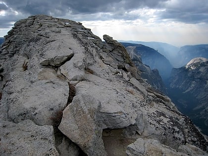
88 min walk • Clouds Rest is a mountain in Yosemite National Park east northeast of Yosemite Village, California. Although there are many peaks in the park having far greater elevation, Clouds Rest's proximity to the valley gives it a very high degree of visual prominence.
 Natural attraction, Nature, Waterfall
Snow Creek Falls, Yosemite National Park
146 min walk • Snow Creek Falls is a long series of cascades located in Yosemite National Park toward the eastern extent of Yosemite Valley. It descends a steep gorge on a sizeable stream that originates in May Lake to the north, dropping east of the trail that leaves the Valley above Mirror Lake en route to North Dome and other north-rim destinations.
 Natural attraction, Nature, Hill
Liberty Cap, Yosemite National Park
140 min walk • Liberty Cap is a granite dome in Yosemite National Park, California, United States which lies at the extreme northwestern margin of Little Yosemite Valley. It lies adjacent, to the north of Nevada Fall, on the John Muir Trail. It rises 1,700 feet feet from the base of Nevada Fall to a peak elevation of 7,080 ft.
 Natural attraction, Nature, Waterfall
Pywiack Cascade, Yosemite National Park
109 min walk • The Pywiack Cascade is a waterfall in Yosemite National Park within the U.S. state of California. It is located a few miles downstream from the outlet of Tenaya Lake on Tenaya Creek at the head of the steep and rugged granite gorge, Tenaya Canyon.
 Climbing
Regular Northwest Face of Half Dome, Yosemite National Park
141 min walk • The Regular Northwest Face of Half Dome was the first Grade VI climb in the United States. It was first climbed in 1957 by a team consisting of Royal Robbins, Mike Sherrick, and Jerry Gallwas. Its current aid climbing rating is VI 5.9 A1 or 5.12 for the free climbing variation.
 Natural attraction, Nature, Mountain
Vogelsang Peak, Yosemite National Park
132 min walk • Vogelsang Peak is a peak in the Cathedral Range of Yosemite National Park, located in northeastern Mariposa County, California.
 Natural attraction, Nature, Valley
Little Yosemite Valley, Yosemite National Park
122 min walk • Little Yosemite Valley is a smaller glacial valley upstream in the Merced River drainage from the Yosemite Valley in Yosemite National Park.
 Natural attraction, Nature, Lake
Boothe Lake, Yosemite National Park
156 min walk • Boothe Lake is a lake in Yosemite National Park, United States. Boothe Lake was named in honor of Clyde Boothe, a park ranger.
 Natural attraction, Nature, Hill
Mount Starr King, Yosemite National Park
138 min walk • Mount Starr King is a symmetrical granite dome in Yosemite National Park, whose highest point is 9,096 feet above sea level. Climbing Starr King's dome requires technical skills or equipment, and the easiest routes are rated low class 5 in the Yosemite Decimal System.
