Liberty Cap, Yosemite National Park
Map
Map

Facts and practical information
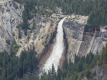
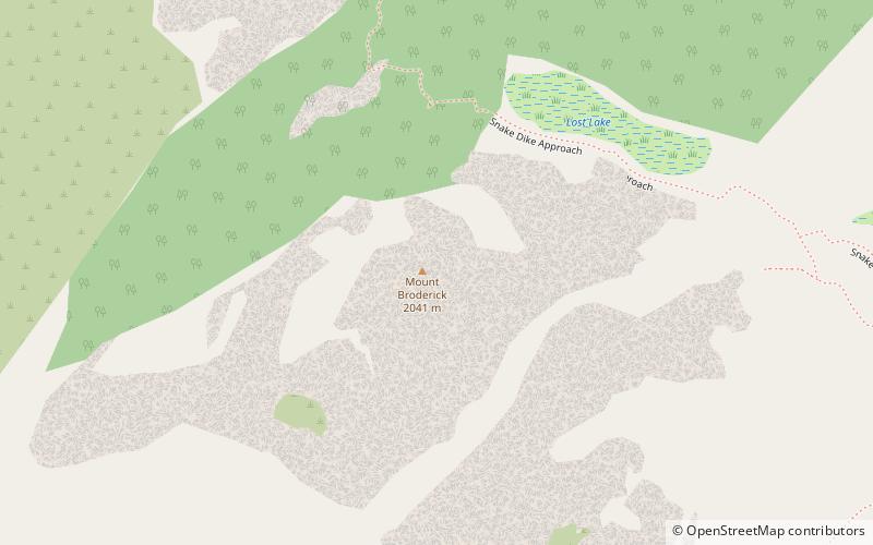
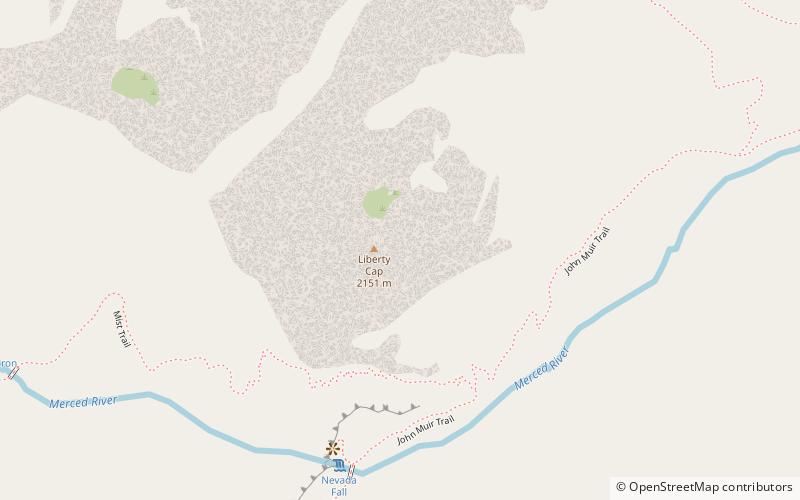
Liberty Cap is a granite dome in Yosemite National Park, California, United States which lies at the extreme northwestern margin of Little Yosemite Valley. It lies adjacent, to the north of Nevada Fall, on the John Muir Trail. It rises 1,700 feet feet from the base of Nevada Fall to a peak elevation of 7,080 ft. A smaller, mesa-like dome called Mount Broderick stands immediately adjacent to Liberty Cap. ()
Elevation: 7080 ftProminence: 956 ftCoordinates: 37°43'43"N, 119°31'55"W
Address
Yosemite National Park
ContactAdd
Social media
Add
Day trips
Liberty Cap – popular in the area (distance from the attraction)
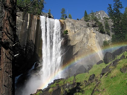
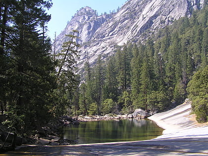
Nearby attractions include: Half Dome, Vernal Fall, Nevada Fall, Emerald Pool.
Frequently Asked Questions (FAQ)
Which popular attractions are close to Liberty Cap?
Nearby attractions include Nevada Fall, Yosemite West (7 min walk), Mount Broderick, Yosemite National Park (10 min walk), Emerald Pool, Yosemite National Park (15 min walk), Vernal Fall, Yosemite West (17 min walk).


