Washburne Historic District, Springfield
Map

Map

Facts and practical information
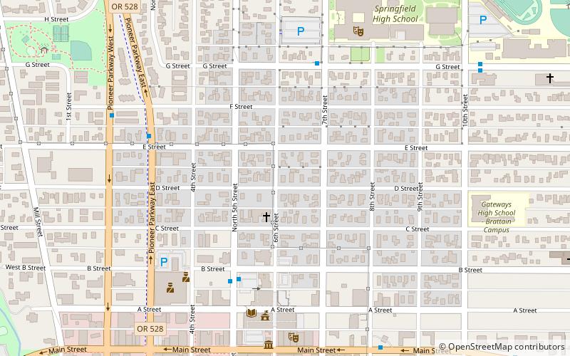
The Washburne Historic District in Springfield, Oregon was established in 1985 and added to the National Register of Historic Places in 1987. The district includes 29 full blocks and five partial blocks, and it is roughly bounded by A Street on the south, G Street on the north, Pioneer Parkway on the west, and 10th Street on the east. Its total area encompasses 84 acres. ()
Coordinates: 44°2'60"N, 123°1'5"W
Address
West MainSpringfield
ContactAdd
Social media
Add
Day trips
Washburne Historic District – popular in the area (distance from the attraction)
Nearby attractions include: The Shoppes at Gateway, Hayward Field, Autzen Stadium, Matthew Knight Arena.
Frequently Asked Questions (FAQ)
Which popular attractions are close to Washburne Historic District?
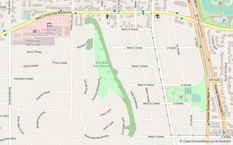
Nearby attractions include Richard E. Wildish Community Theater, Springfield (7 min walk), Kelly Butte, Springfield (17 min walk).
How to get to Washburne Historic District by public transport?
The nearest stations to Washburne Historic District:
Bus
Bus
- Route 11 • Lines: 11 (8 min walk)
- Greyhound Eugene-Springfield (9 min walk)


