San Miguel River, Uncompahgre National Forest
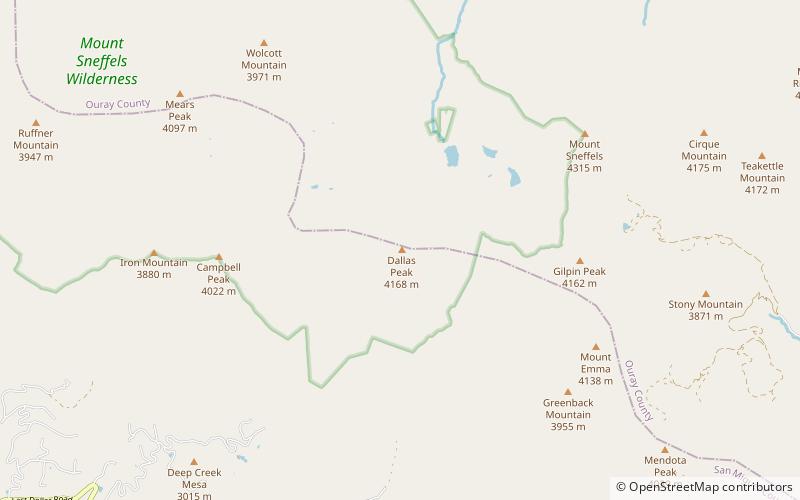
Map

Map

Facts and practical information
The San Miguel River is a tributary of the Dolores River, approximately 81 miles long, in southwestern Colorado in the United States. It rises in the San Juan Mountains southeast of Telluride and flows northwest, along the southern slope of the Uncompahgre Plateau, past the towns of Placerville and Nucla and joins the Dolores in western Montrose County approximately 15 miles east of the state line with Utah. ()
Address
Uncompahgre National Forest
ContactAdd
Social media
Add
Day trips
San Miguel River – popular in the area (distance from the attraction)
Nearby attractions include: Telluride Ski Resort, Bridal Veil Falls, Mount Sneffels, Gilpin Peak.


