Wertland Street Historic District, Charlottesville
Map

Map

Facts and practical information
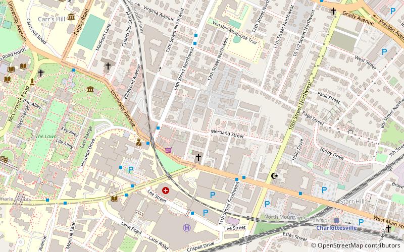
Wertland Street Historic District is a national historic district located at Charlottesville, Virginia. The district encompasses 25 contributing buildings in a two block residential section of the city of Charlottesville. It was primarily developed starting in the 1880s. Notable buildings include the Wertenbaker House, McKennie-Miller House, Ward-Brown-Gay House, Marshall-Dabney-Cubbage House, Bryan-Stallings House, and Watson House. ()
Elevation: 502 ft a.s.l.Coordinates: 38°2'5"N, 78°29'51"W
Address
780 Madison AveVenableCharlottesville
ContactAdd
Social media
Add
Day trips
Wertland Street Historic District – popular in the area (distance from the attraction)
Nearby attractions include: Statue of Thomas Jefferson, Downtown Mall, John Paul Jones Arena, Scott Stadium.
Frequently Asked Questions (FAQ)
Which popular attractions are close to Wertland Street Historic District?
Nearby attractions include George Rogers Clark Monument, Charlottesville (3 min walk), Anderson Brothers Building, Charlottesville (4 min walk), The Corner, Charlottesville (7 min walk), Statue of Thomas Jefferson, Charlottesville (9 min walk).
How to get to Wertland Street Historic District by public transport?
The nearest stations to Wertland Street Historic District:
Bus
Train
Bus
- 14th Street @ Wertland St • Lines: Or (3 min walk)
- W Main St at 11th St SW • Lines: 4, T (4 min walk)
Train
- Charlottesville (10 min walk)


