Village Zendo, New York City
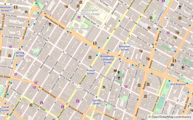
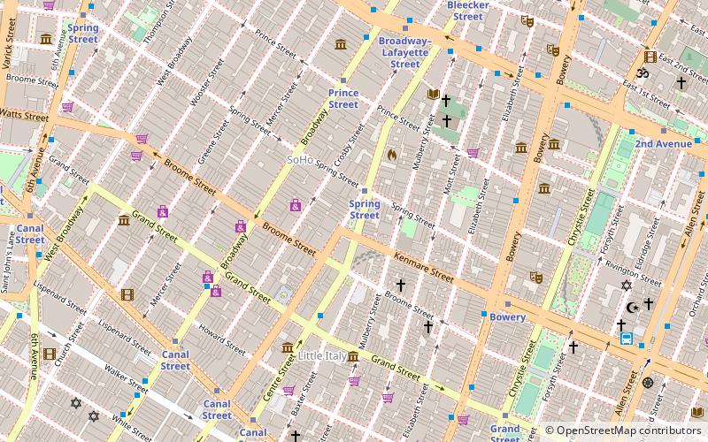
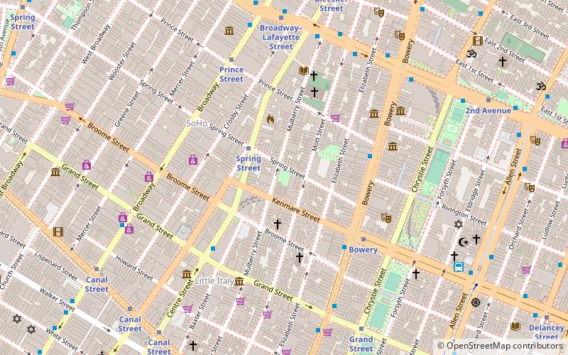
Map
Facts and practical information
Village Zendo is a combined Soto and Rinzai Zen practice center in lower Manhattan. Originally located in the apartment of Enkyo Pat O'Hara, who founded the zendo in 1986, the Zen center took up the majority of space in O'Hara's apartment. Village Zendo is a practice center of the White Plum Asanga and Zen Peacemaker Circle, the former founded by O'Hara's teacher Taizan Maezumi and the latter by Bernard Glassman. ()
Completed: 1986 (40 years ago)Coordinates: 40°43'29"N, 73°59'50"W
Getting there by public transportation
Public transportation stops near this location
- Metro
- Bus
- Ferry
 Metro
Metro
- Calculate routeBroadway & West Houston Street 1 min walk
- Calculate routeEast Houston Street & Broadway 2 min walk
- Calculate routePrince Street 1 min walk
- Calculate routeBroadway–Lafayette Street 2 min walk
- Calculate routeBrookfield Place / Battery Park City Ferry Terminal 33 min walk
Maps SubwayMaps
 Manhattan Buses
SubwayMapsManhattan BusesDay trips
Village Zendo – popular in the area (distance from the attraction)
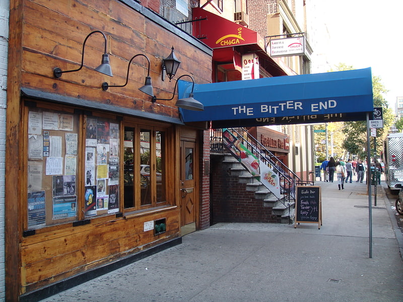
Nearby attractions include: The Bitter End, Center for Italian Modern Art, St. Patrick's Old Cathedral, Terrain Gallery.


Frequently Asked Questions (FAQ)
Which popular attractions are close to Village Zendo?
Nearby attractions include Puck Building, New York City (2 min walk), Staley-Wise Gallery, New York City (2 min walk), Cable Building, New York City (2 min walk), Terrain Gallery, New York City (4 min walk).
How to get to Village Zendo by public transport?
The nearest stations to Village Zendo:
Bus
Metro
Ferry
Bus
- Broadway & West Houston Street • Lines: M55 (1 min walk)
- East Houston Street & Broadway • Lines: M21 (2 min walk)
Metro
- Prince Street • Lines: N, Q, R, W (1 min walk)
- Broadway–Lafayette Street • Lines: <F>, B, D, F, M (2 min walk)
Ferry
- Brookfield Place / Battery Park City Ferry Terminal (33 min walk)