Hanging Canyon, Grand Teton National Park
Map
Map

Facts and practical information
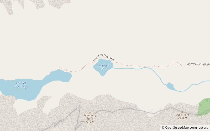
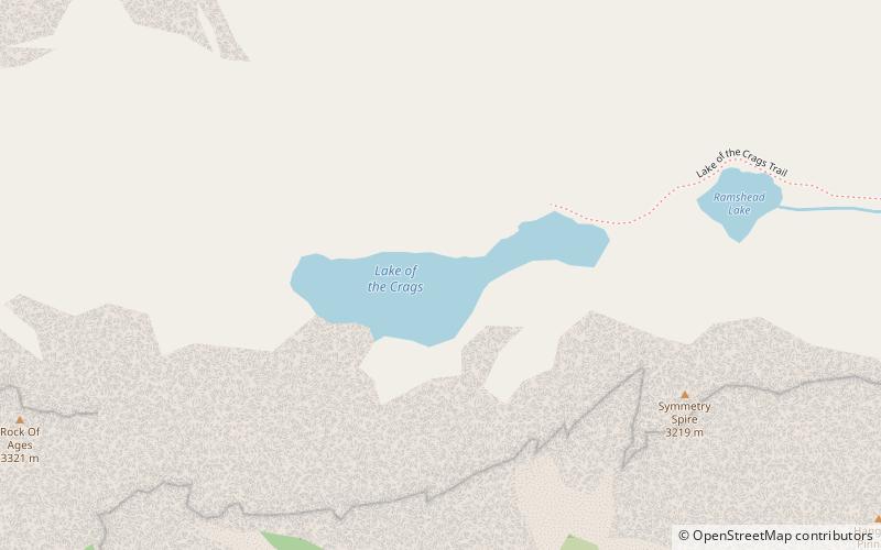
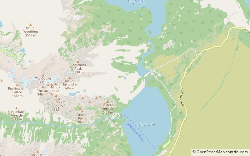
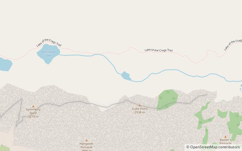
Hanging Canyon is located in Grand Teton National Park, in the U. S. state of Wyoming. The canyon was formed by glaciers which retreated at the end of the last glacial maximum approximately 15,000 years ago, leaving behind a U-shaped valley. Hanging Canyon is south of Mount Saint John and north of Symmetry Spire. The canyon is northwest of Jenny Lake and within the canyon lies Lake of the Crags, Ramshead Lake and Arrowhead Pool. ()
Length: 200 ftWidth: 150 ftElevation: 9186 ft a.s.l.Coordinates: 43°46'32"N, 110°45'32"W
Address
Grand Teton National Park
ContactAdd
Social media
Add
Day trips
Hanging Canyon – popular in the area (distance from the attraction)
Nearby attractions include: String Lake Trail, Cascade Canyon Trail, Mount Saint John, Ramshead Lake.
Frequently Asked Questions (FAQ)
Which popular attractions are close to Hanging Canyon?
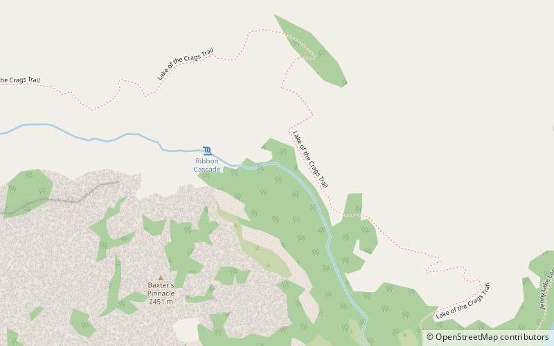
Nearby attractions include Symmetry Spire, Grand Teton National Park (6 min walk), Ramshead Lake, Grand Teton National Park (7 min walk), Lake of the Crags, Grand Teton National Park (14 min walk), Ribbon Cascade, Grand Teton National Park (15 min walk).


