South Fork Cascade Canyon Trail, Grand Teton National Park

Facts and practical information
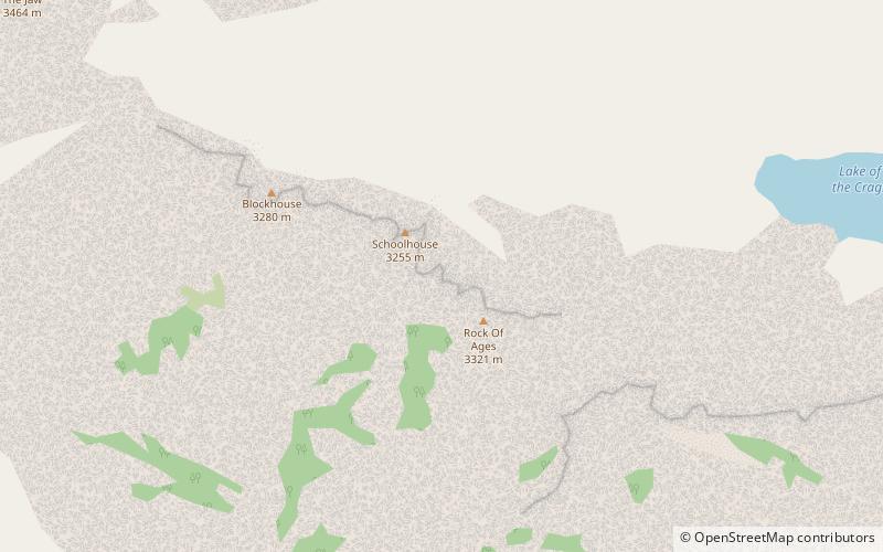
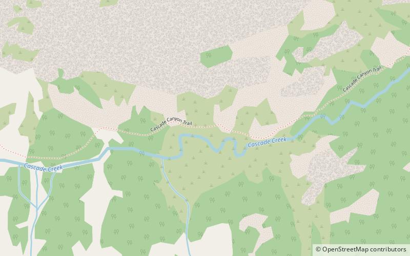
The South Fork Cascade Canyon Trail is a 5.6-mile long hiking trail in Grand Teton National Park in the U.S. state of Wyoming. The trail begins at the Forks of Cascade Canyon and extends to Hurricane Pass. A short connector trail just before Hurricane Pass leads to Schoolroom Glacier. From the Forks of Cascade Canyon and most of the way through South Cascade Canyon, backcountry camping is allowed with a permit. The South Fork Cascade Canyon Trail is also part of the Teton Crest Trail its entire length and to the south beyond Hurricane Pass lies Alaska Basin. ()
Grand Teton National Park
South Fork Cascade Canyon Trail – popular in the area (distance from the attraction)
Nearby attractions include: Cascade Canyon Trail, Teewinot Mountain, Ramshead Lake, Symmetry Spire.


