Outdoor Activity Center, Atlanta
Map
Facts and practical information
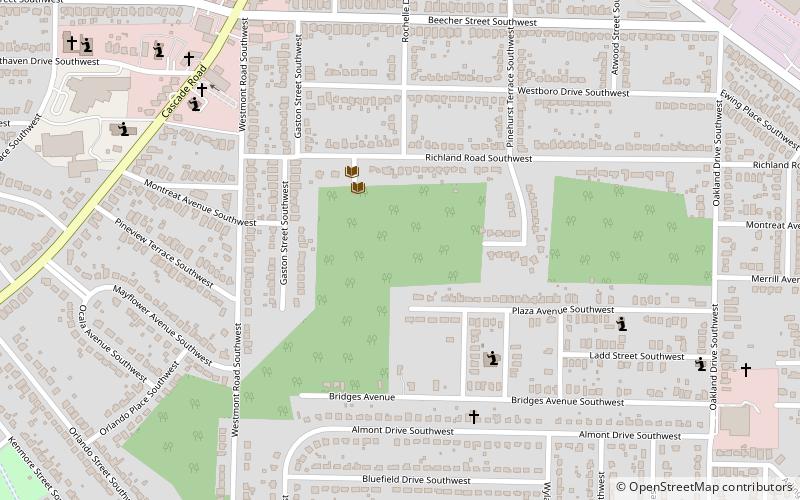
The West Atlanta Watershed Alliance Outdoor Activity Center is a public environmental education, nature preserve, and outdoor activity facility in Atlanta, Georgia. The center is 26 acres and focuses on educational outreach and outdoor activities in an urban setting. ()
Elevation: 948 ft a.s.l.Coordinates: 33°43'45"N, 84°26'2"W
Getting there by public transportation
Public transportation stops near this location
- Metro
 Metro
Metro
- Calculate routeOakland City 26 min walk
- Calculate routeWest End 33 min walk
Day trips


Frequently Asked Questions (FAQ)
Which popular attractions are close to Outdoor Activity Center?
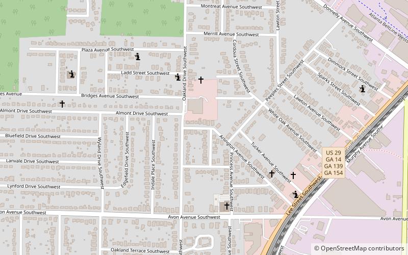
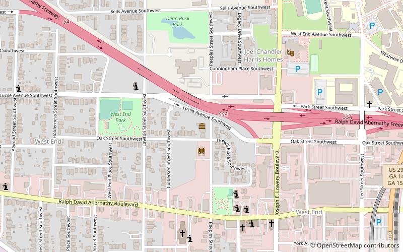
Nearby attractions include Oakland City, Atlanta (13 min walk), Venetian Hills, Atlanta (20 min walk), Joel Chandler Harris House, Atlanta (23 min walk), The Wren's Nest, Atlanta (23 min walk).
How to get to Outdoor Activity Center by public transport?
The nearest stations to Outdoor Activity Center:
Metro
Metro
- Oakland City • Lines: Gold, Red (26 min walk)
- West End • Lines: Gold, Red (33 min walk)