Atlanta State Farmers' Market, Atlanta

Gallery (1)
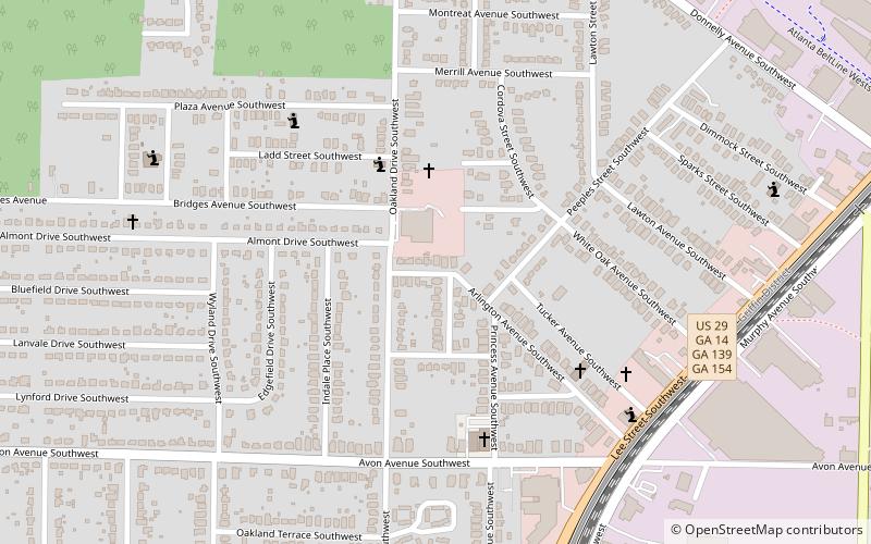
Map
Map
Facts and practical information
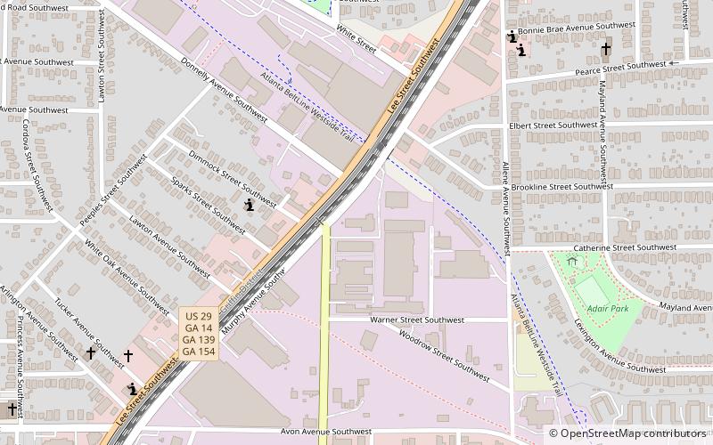
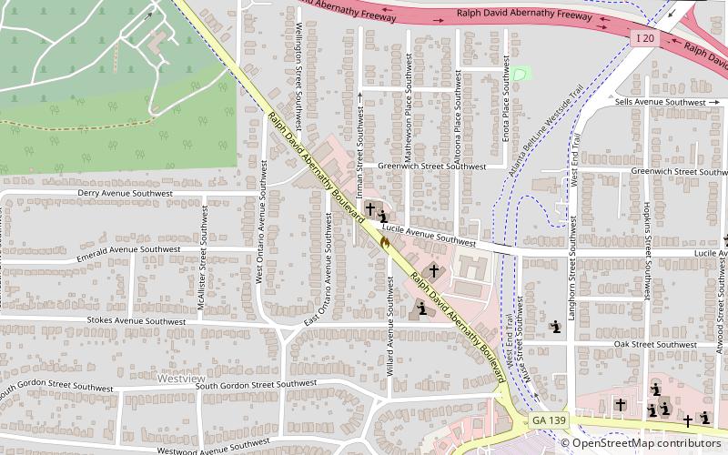
This article refers to the Atlanta State Farmers' Market, also known as the Atlanta Farm Market, which was located on Murphy Avenue near Sylvan Road. The market was active at this location for 18 years, from 1941 to 1959. Today the market and surrounding industrial buildings are often referred to as the Murphy Triangle. It's listed as an "endangered" property by the Atlanta Preservation Center. ()
Coordinates: 33°43'35"N, 84°25'2"W
Address
Intown South (Oakland City)Atlanta
ContactAdd
Social media
Add
Getting there by public transportation
Public transportation stops near this location
- Metro
- Bus
 Metro
Metro
- Calculate routeWest End 18 min walk
- Calculate routeOakland City 21 min walk
- Calculate routeWest End Station 18 min walk
Day trips


Frequently Asked Questions (FAQ)
Which popular attractions are close to Atlanta State Farmers' Market?
Nearby attractions include Oakland City, Atlanta (14 min walk), Evangeline Booth College, Atlanta (18 min walk), Capitol View, Atlanta (18 min walk), Joel Chandler Harris House, Atlanta (22 min walk).
How to get to Atlanta State Farmers' Market by public transport?
The nearest stations to Atlanta State Farmers' Market:
Metro
Bus
Metro
- West End • Lines: Gold, Red (18 min walk)
- Oakland City • Lines: Gold, Red (21 min walk)
Bus
- West End Station • Lines: 832 (18 min walk)