Enota Park, Atlanta
Map
Facts and practical information
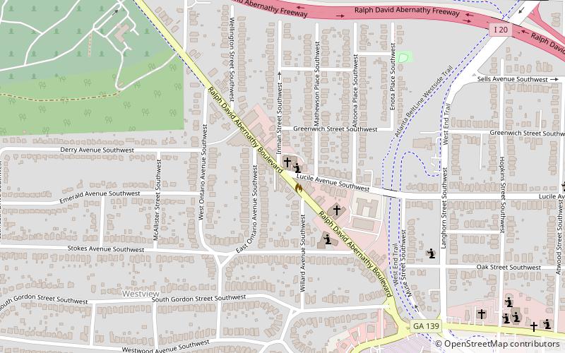
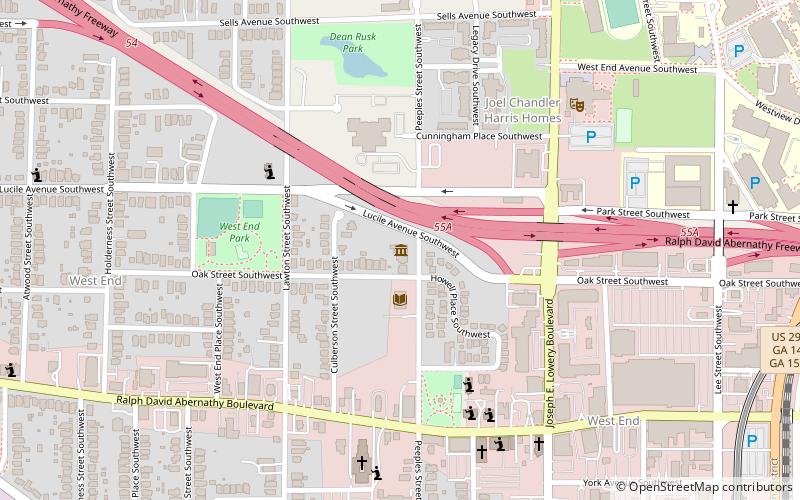
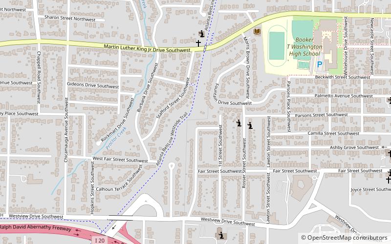
Enota Park is a 0.3 acre playlot in the Westview neighborhood of Atlanta, GA. Enota park is located near the Westview cemetery and Interstate 20. The park is currently being redesigned to be incorporated into the Westside Trail portion of the Atlanta BeltLine. Enota Park was identified as one of 4 parks to be expanded by Alexander Garvin and Associates in a 2004 study commission by The Trust for Public Land called The Beltline Emerald Necklace: Atlanta's New Public Realm. ()
Elevation: 1020 ft a.s.l.Coordinates: 33°44'34"N, 84°26'14"W
Address
Intown South (Westview)Atlanta
ContactAdd
Social media
Add
Getting there by public transportation
Public transportation stops near this location
- Metro
 Metro
Metro
- Calculate routeWest Lake 22 min walk
- Calculate routeAshby 38 min walk
Day trips


Frequently Asked Questions (FAQ)
Which popular attractions are close to Enota Park?
Nearby attractions include Westview Cemetery, Atlanta (10 min walk), Westview Cemetery, Atlanta (20 min walk), Omenala Griot Afrocentric Teaching Museum, Atlanta (20 min walk), Mozley Park, Atlanta (22 min walk).
How to get to Enota Park by public transport?
The nearest stations to Enota Park:
Metro
Metro
- West Lake • Lines: Blue (22 min walk)
- Ashby • Lines: Blue, Green (38 min walk)