Mount Edwards, Arapaho National Forest
Map

Gallery

Facts and practical information
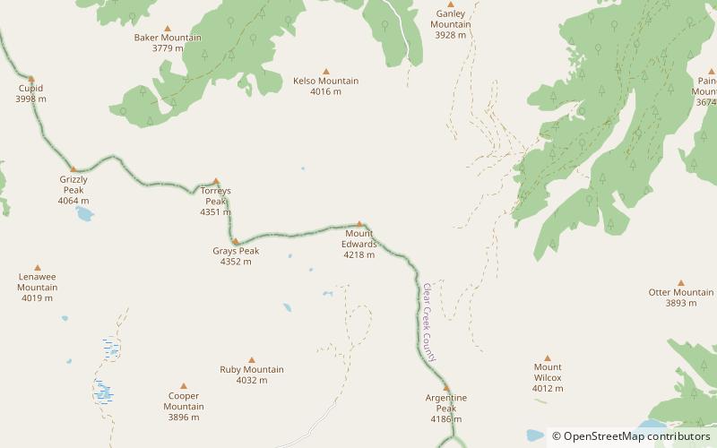
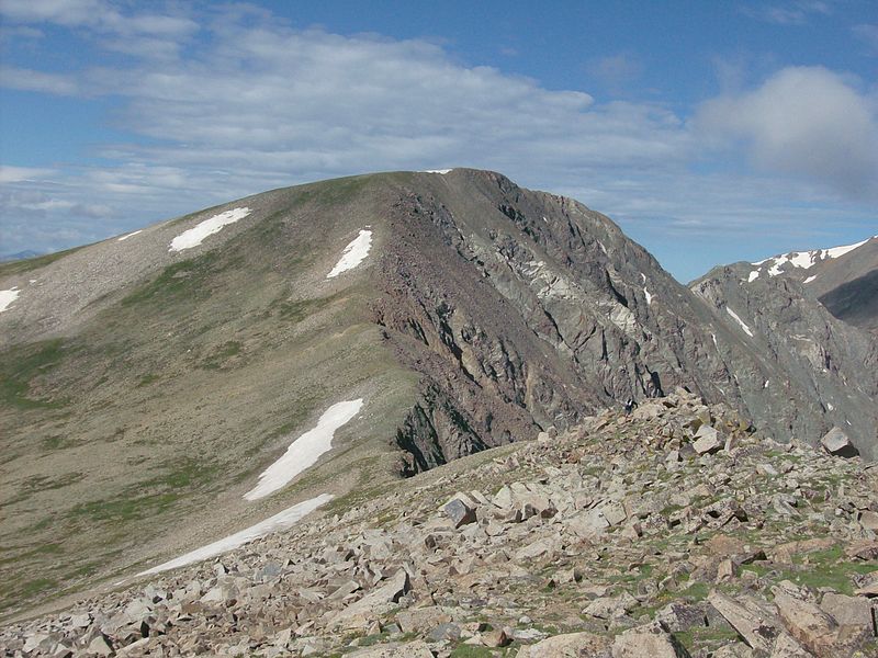
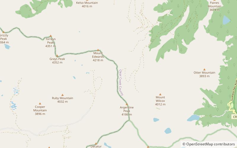
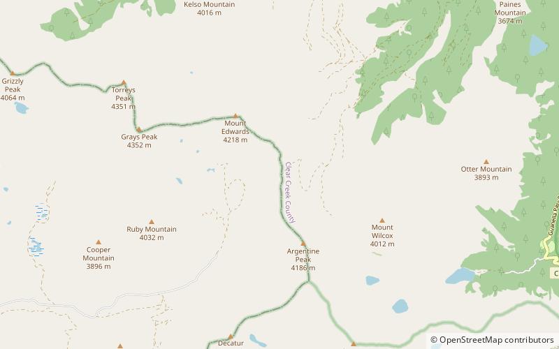
Mount Edwards is a high mountain summit in the Rocky Mountains' Front Range of North America. The 13,856-foot thirteener is located in Arapaho National Forest, 7.6 miles southwest of the Town of Georgetown, Colorado, United States, on the Continental Divide between Clear Creek and Summit counties. ()
Elevation: 13856 ftProminence: 470 ftCoordinates: 39°38'11"N, 105°47'38"W
Address
Arapaho National Forest
ContactAdd
Social media
Add
Day trips
Mount Edwards – popular in the area (distance from the attraction)
Nearby attractions include: American Discovery Trail, Grays Peak Trail, Front Range, Argentine Pass.


