Argentine Pass, Arapaho National Forest
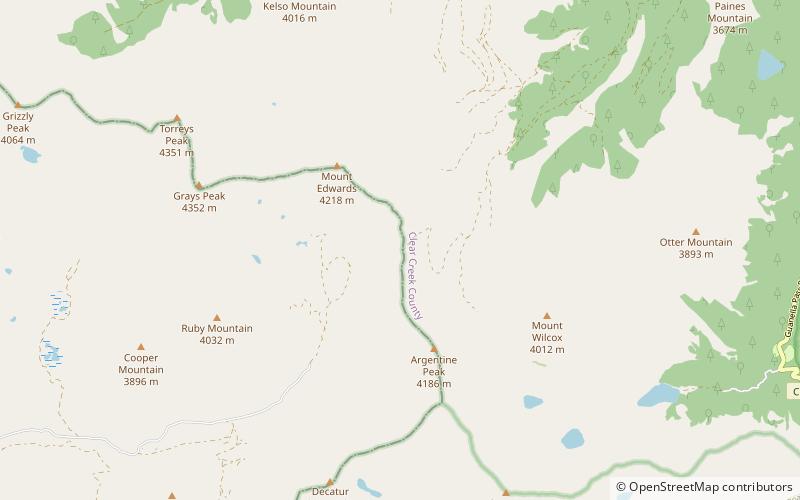
Map
Facts and practical information
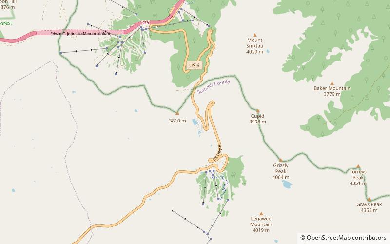
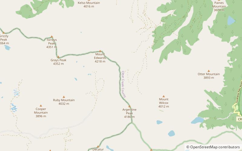
Argentine Pass, elevation 13,207 ft, is a high mountain pass that crosses the Continental Divide in the Front Range of the Rocky Mountains of central Colorado in the United States. Argentine Pass is located on the crest of the Front Range along the boundary southwest of Georgetown and is the highest named vehicle-accessible pass in the state. ()
Maximum elevation: 13207 ftCoordinates: 39°37'31"N, 105°46'59"W
Address
Arapaho National Forest
ContactAdd
Social media
Add
Day trips
Argentine Pass – popular in the area (distance from the attraction)
Nearby attractions include: Grays Peak, Pass Lake, Torreys Peak, American Discovery Trail.

