Grays Peak Trail, Arapaho National Forest

Facts and practical information
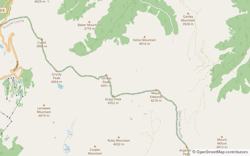
Grays Peak National Recreation Trail or Grays Peak Trail lies along the Continental Divide of the Americas, part of the Rocky Mountains in the U.S. state of Colorado. It is located in the White River National Forest, Summit County. Grays Peak Trail is south of Interstate 70, east of Keystone Resort and near Montezuma. Grays Peak is adjacent to Torreys Peak. The Grays Peak Trail begins 3 miles above Interstate 70, at 11,200 feet. The summit of Grays Peak is 3.7 miles from the trailhead. Torreys Peak is 4.15 miles from the trailhead, across a saddle from Grays Peak. Grays Peak Trail ascends south through the wetland willows of Stevens Gulch. The trail passes between Stevens Mine on a lower slope of McClellan Mountain, 13,587 feet, forming the eastern wall of the valley, and Sterling Silver Group Mine beside the trail to the right on Kelso Mountain, 13,164 feet. The trail climbs 900 feet during the first 1.7 miles to a National Recreation Trail sign indicating that the summit is two miles farther. ()
Arapaho National Forest


