Freedom Park, Atlanta
Map
Gallery

Facts and practical information
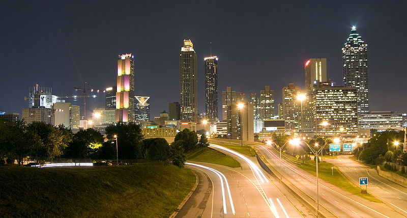
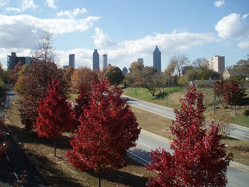
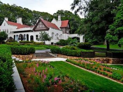
Freedom Park is one of the largest city parks in Atlanta, Georgia, United States. The park forms a cross shape with the axes crossing at the Carter Center. The park stretches from west-east from Parkway Drive, just west of Boulevard, to the intersection with the north-south BeltLine Eastside Trail, to Candler Park, and north-south from Ponce de Leon Avenue to the Inman Park/Reynoldstown MARTA station. ()
Elevation: 971 ft a.s.l.Coordinates: 33°45'56"N, 84°21'32"W
Day trips
Freedom Park – popular in the area (distance from the attraction)
Nearby attractions include: Clermont Lounge, Virginia–Highland, Jimmy Carter Library and Museum, Variety Playhouse.
Frequently Asked Questions (FAQ)
Which popular attractions are close to Freedom Park?
Nearby attractions include Iron Column, Atlanta (2 min walk), Jimmy Carter Library and Museum, Atlanta (4 min walk), Copenhill, Atlanta (5 min walk), WSB-TV tower, Atlanta (5 min walk).
How to get to Freedom Park by public transport?
The nearest stations to Freedom Park:
Metro
Tram
Metro
- Inman Park/Reynoldstown • Lines: Blue, Green (17 min walk)
- Edgewood/Candler Park • Lines: Blue, Green (29 min walk)
Tram
- King Historic District • Lines: Atlanta Streetcar (30 min walk)
- Edgewood at Hillard • Lines: Atlanta Streetcar (33 min walk)


