Christian Science Center, Boston
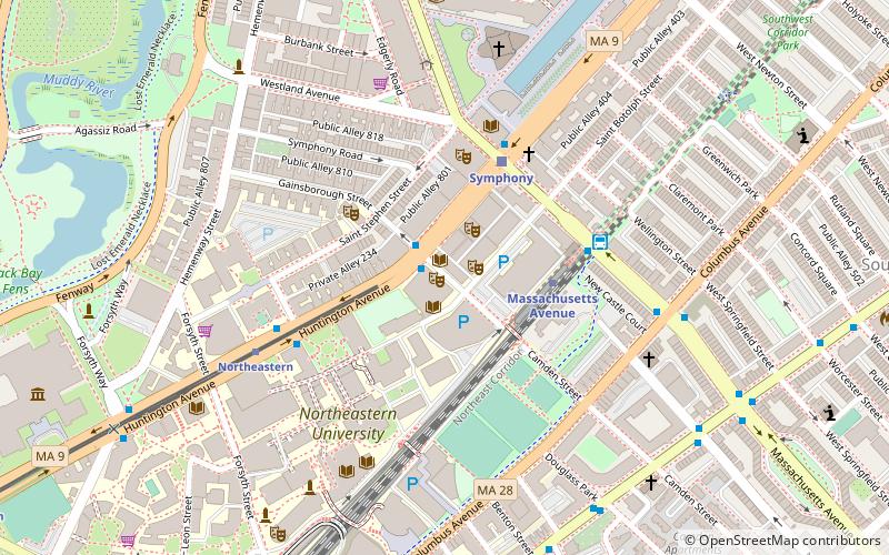
Map
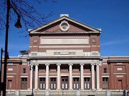
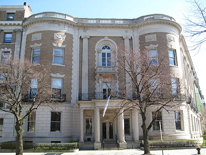
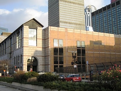
Gallery

Facts and practical information
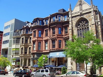
The Christian Science Center is a 13.5-acre site on the corner of Massachusetts Avenue and Huntington Avenue in the Fenway neighborhood of Boston, Massachusetts. A popular tourist attraction, the center is owned by the Church of Christ, Scientist, which refers to it as Christian Science Plaza. The complex, including most of the landscape was designated as a Boston Landmark by the Boston Landmarks Commission in 2011. ()
Coordinates: 42°20'40"N, 71°5'3"W
Address
250 Massachusetts AveFenway - Kenmore - Audubon Circle - LongwoodBoston
Contact
Social media
Add
Day trips
Christian Science Center – popular in the area (distance from the attraction)
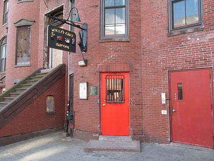
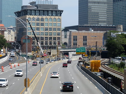
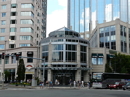
Nearby attractions include: Newbury Street, Wally's Cafe, Skywalk Observatory, Matthews Arena.
Frequently Asked Questions (FAQ)
Which popular attractions are close to Christian Science Center?
Nearby attractions include The First Church of Christ, Boston (2 min walk), 177 Huntington, Boston (2 min walk), Mary Baker Eddy Library, Boston (3 min walk), Mapparium, Boston (3 min walk).
How to get to Christian Science Center by public transport?
The nearest stations to Christian Science Center:
Bus
Light rail
Metro
Train
Bus
- Massachusetts Ave opp Christian Science Ctr • Lines: 1 (3 min walk)
- Belvidere St @ Huntington Ave • Lines: 55 (4 min walk)
Light rail
- Symphony • Lines: E (4 min walk)
- Prudential • Lines: E (5 min walk)
Metro
- Massachusetts Avenue • Lines: Orange (7 min walk)
- Back Bay • Lines: Orange (14 min walk)
Train
- Boston Back Bay (14 min walk)
- Ruggles (16 min walk)


 MBTA Subway