Magnolia Park, Seattle
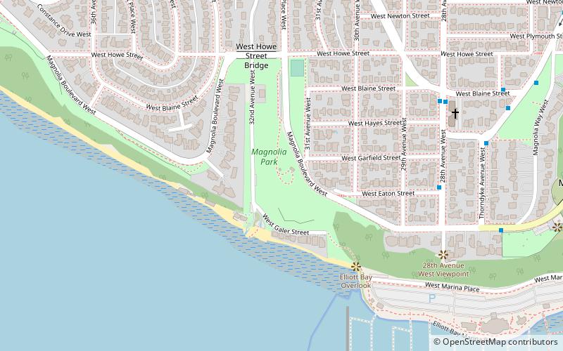
Map
Facts and practical information
Magnolia Park is a 12.1-acre park in the Magnolia neighborhood of Seattle, Washington. ()
Elevation: 108 ft a.s.l.Coordinates: 47°38'0"N, 122°23'53"W
Getting there by public transportation
Public transportation stops near this location
- Bus
 Bus
Bus
- Calculate route28th Ave W & W Eaton St 6 min walk
- Calculate route28th Ave W & W Blaine St 7 min walk
- Calculate routeThorndyke Ave W & W Hayes St 8 min walk
- Calculate routeCondon Way W & W Crockett St 9 min walk
Day trips
Magnolia Park – popular in the area (distance from the attraction)
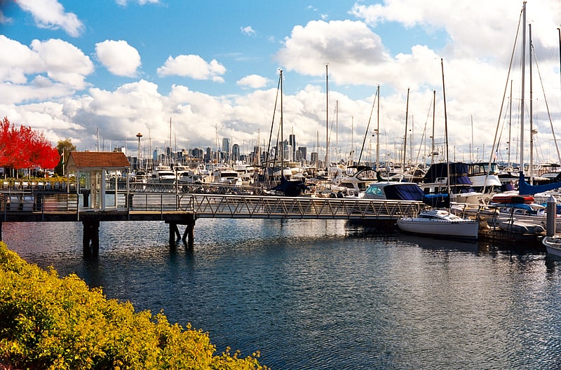
Nearby attractions include: Elliott Bay Marina, Magnolia Bridge, Interbay P-Patch, Interbay.


Frequently Asked Questions (FAQ)
Which popular attractions are close to Magnolia Park?
Nearby attractions include Elliott Bay Marina, Seattle (9 min walk), Magnolia Bridge, Seattle (17 min walk).
How to get to Magnolia Park by public transport?
The nearest stations to Magnolia Park:
Bus
Bus
- 28th Ave W & W Eaton St • Lines: 19, 24, 33 (6 min walk)
- 28th Ave W & W Blaine St • Lines: 19, 24, 31, 33 (7 min walk)