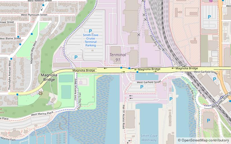
Magnolia Bridge, Seattle

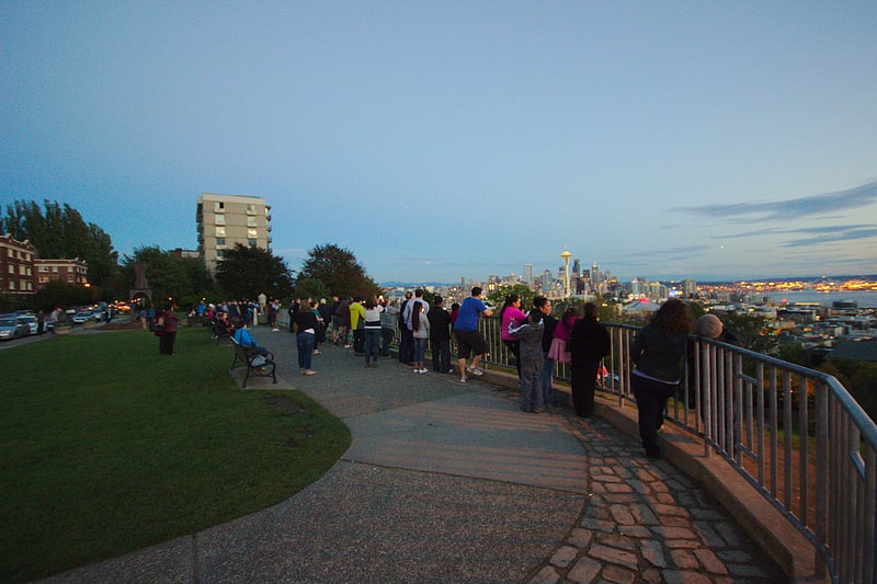
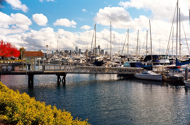
Gallery (1)
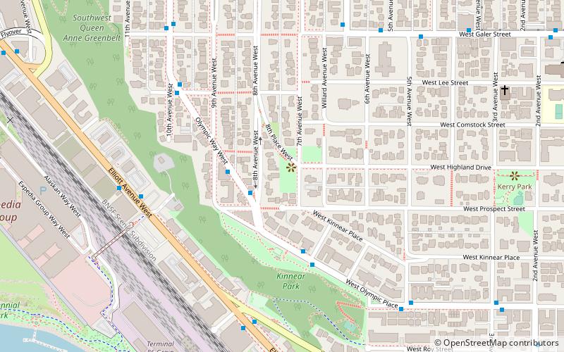
Map
Map
Facts and practical information
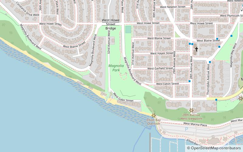
The Magnolia Bridge, built in 1930, connects the Seattle neighborhoods of Magnolia and Interbay over the filled-in tidelands of Smith Cove. It is one of only three road connections from Magnolia to the rest of Seattle. It carries W. Garfield Street from Magnolia Way W. in the west to the intersection of Elliott and 15th Avenues W. in the east. Having been damaged in the 2001 Nisqually earthquake, it is currently scheduled for replacement. ()
Coordinates: 47°38'0"N, 122°23'2"W
Address
W. Garfield StreetInterbaySeattle 98119
ContactAdd
Social media
Add
Getting there by public transportation
Public transportation stops near this location
- Bus
 Bus
Bus
- Calculate routeMagnolia Brdg & Pier 91 2 min walk
- Calculate routeThorndyke Ave W & W Blaine St 9 min walk
Day trips


Frequently Asked Questions (FAQ)
Which popular attractions are close to Magnolia Bridge?
Nearby attractions include Elliott Bay Marina, Seattle (11 min walk), Interbay P-Patch, Seattle (17 min walk), Magnolia Park, Seattle (17 min walk), Marshall Park, Seattle (22 min walk).
How to get to Magnolia Bridge by public transport?
The nearest stations to Magnolia Bridge:
Bus
Bus
- Magnolia Brdg & Pier 91 • Lines: 19, 24, 33 (2 min walk)
- Thorndyke Ave W & W Blaine St • Lines: 31, 33 (9 min walk)