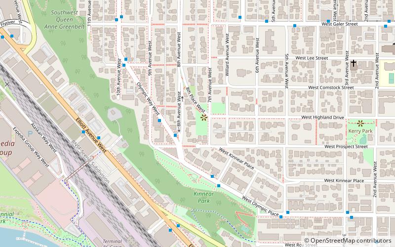
Elliott Bay Marina, Seattle
Facts and practical information
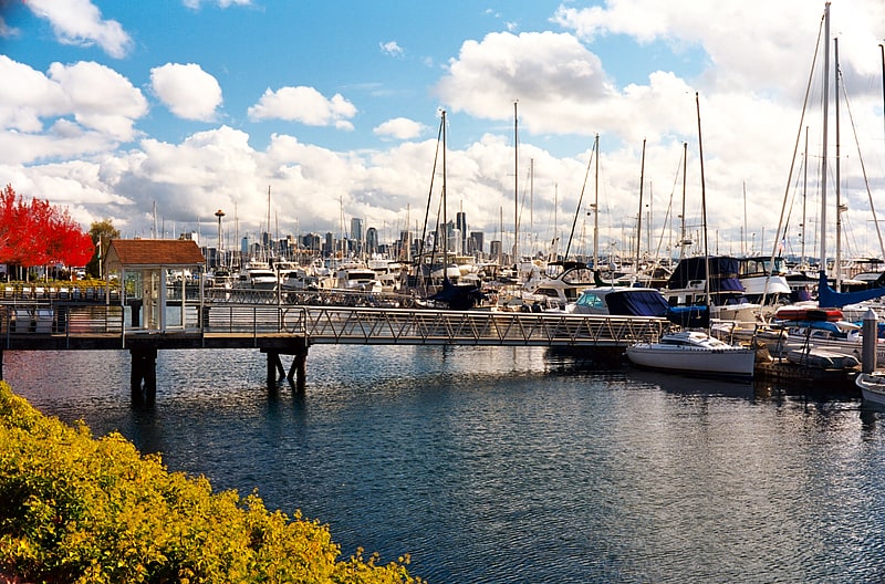
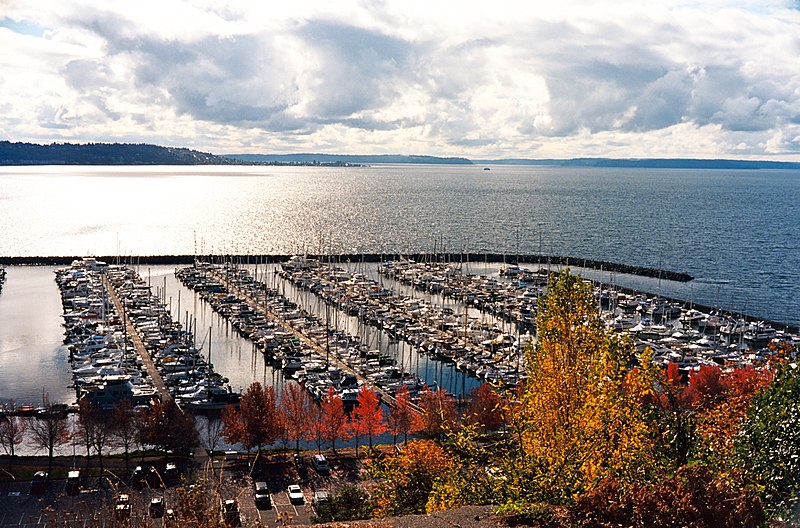
Nestled in the heart of Seattle, Elliott Bay Marina stands as a premier destination for nautical enthusiasts and a picturesque haven for visitors. This expansive marina, the largest privately-owned and operated marina on the West Coast of the United States, offers a tranquil escape from the bustling city life with its stunning views of the Seattle skyline and the Olympic Mountains.
Established in 1991, Elliott Bay Marina provides state-of-the-art facilities and services for a wide range of boaters, from weekend sailors to luxury yacht owners. With over 1,200 slips, the marina can accommodate vessels of various sizes, ensuring a spot for anyone looking to dock in the Emerald City. The marina is well-equipped with amenities such as shore power, freshwater, and Wi-Fi, catering to all the needs of its patrons.
The marina doesn't only cater to the needs of boat owners; it's also a lively community hub. Two renowned restaurants, Maggie Bluffs and Palisade, offer waterfront dining experiences where guests can indulge in fresh seafood and gourmet cuisine while soaking in the panoramic views of Elliott Bay.
Elliott Bay Marina is committed to environmental stewardship, having implemented eco-friendly practices to preserve the stunning natural beauty that surrounds the marina. This includes clean boating initiatives and meticulous maintenance to ensure a minimal environmental footprint.
Open year-round, the marina is not only a boater's paradise but also a scenic spot for landlubbers. The public can enjoy the marina's walkways, watch the boats, and take in the serene atmosphere. For those seeking adventure, the marina serves as a starting point for various water activities, including sailing, fishing, and cruising.
MagnoliaSeattle
- Bus
 Bus
Bus
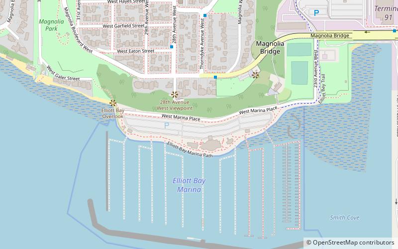
- Calculate routeW Galer St & Thorndyke Ave W 3 min walk
- Calculate routeThorndyke Ave W & W Hayes St 6 min walk
- Calculate route28th Ave W & W Blaine St 8 min walk


Frequently Asked Questions (FAQ)
Which popular attractions are close to Elliott Bay Marina?
How to get to Elliott Bay Marina by public transport?
Bus
- W Galer St & Thorndyke Ave W • Lines: 19, 24, 33 (3 min walk)
- Thorndyke Ave W & W Hayes St • Lines: 19, 24, 33 (6 min walk)