Dodge Street, Omaha
Map

Gallery

Facts and practical information
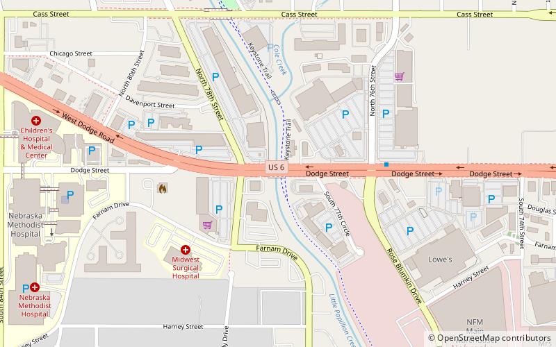
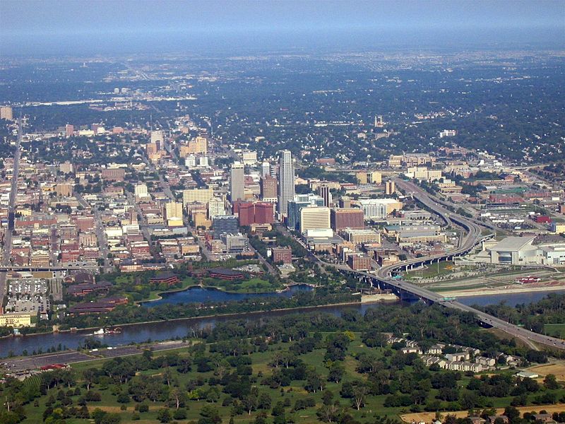
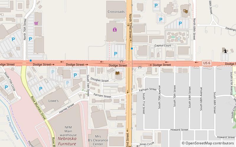
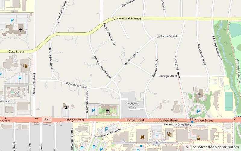
Dodge Street is the main east–west street in Omaha, Nebraska. Numbered as U.S. Route 6, the street starts in Downtown Omaha and connects to West Dodge Road just west of 78th Street. From there, it continues westward through the remainder of Douglas County. ()
Coordinates: 41°15'35"N, 96°2'4"W
Address
Central OmahaOmaha
ContactAdd
Social media
Add
Day trips
Dodge Street – popular in the area (distance from the attraction)
Nearby attractions include: Crossroads Mall, Elmwood Park Golf Course, Omaha Community Playhouse, Do Space.
Frequently Asked Questions (FAQ)
Which popular attractions are close to Dodge Street?
Nearby attractions include Do Space, Omaha (13 min walk), Omaha Community Playhouse, Omaha (20 min walk).
How to get to Dodge Street by public transport?
The nearest stations to Dodge Street:
Bus
Bus
- W Dodge Rd & N 84th St • Lines: 2 (11 min walk)
- 72nd & Dodge • Lines: 2 (14 min walk)


