Fairacres Historic District, Omaha
Map
Facts and practical information
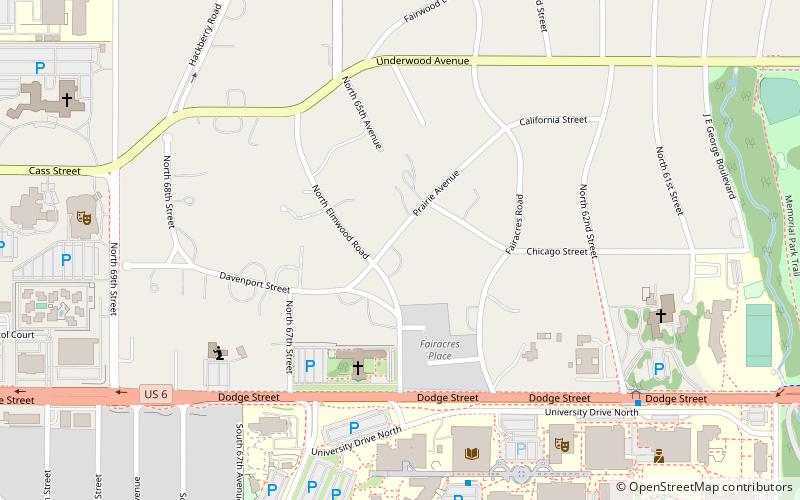
Fairacres is a neighborhood and historic district in Omaha, Nebraska. It is south of Dundee and west of Midtown. It is roughly bounded by Underwood Avenue to the north, Dodge Street to the south, North 69th Street to the west, and North 62nd Street to the east. It is primarily residential, and was annexed into Omaha in 1941. It was listed the National Register of Historic Places in 2017. ()
Coordinates: 41°15'43"N, 96°0'47"W
Address
Central Omaha (Fairacres)Omaha
ContactAdd
Social media
Add
Getting there by public transportation
Public transportation stops near this location
- Bus
 Bus
Bus
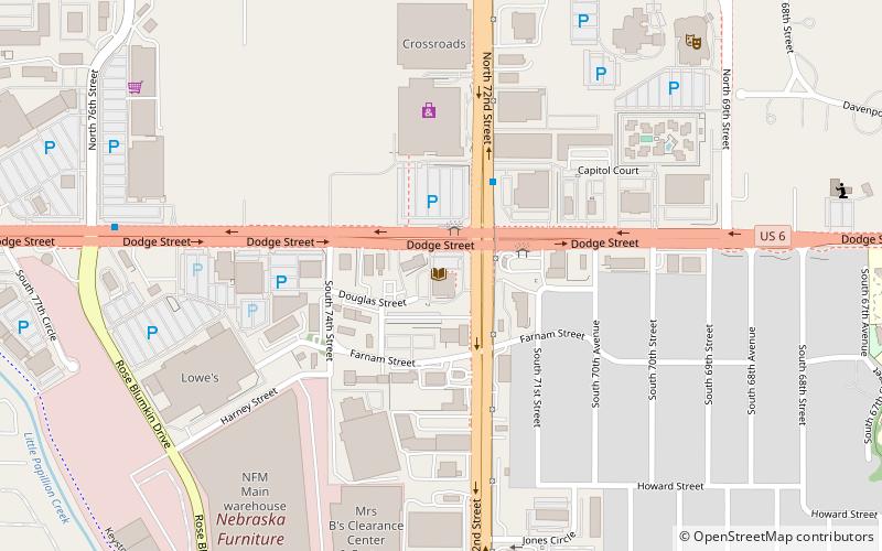
- Calculate route62nd & Dodge 9 min walk
- Calculate route72nd & Dodge 16 min walk
- Calculate route50th & Dodge 30 min walk
Day trips


Frequently Asked Questions (FAQ)
Which popular attractions are close to Fairacres Historic District?
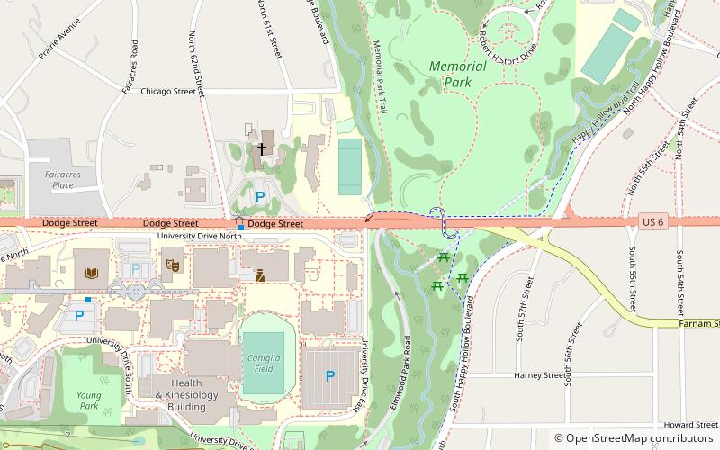
Nearby attractions include UNO Criss Library, Omaha (6 min walk), Omaha Community Playhouse, Omaha (10 min walk), Eugene C. Eppley Administration Building, Omaha (10 min walk), University of Nebraska Omaha, Omaha (12 min walk).
How to get to Fairacres Historic District by public transport?
The nearest stations to Fairacres Historic District:
Bus
Bus
- 62nd & Dodge • Lines: 2 (9 min walk)
- 72nd & Dodge • Lines: 2 (16 min walk)