Lyons Station Stagecoach Stop, Santa Clarita
Map

Map

Facts and practical information
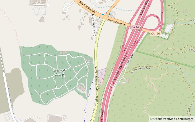
The Lyons Station Stagecoach Stop, was a tavern and stagecoach stop near the southwest corner of Newhall Avenue and Sierra Highway, by Eternal Valley Cemetery. The site is located in the present day Newhall section of Santa Clarita, in Los Angeles County, California. ()
Coordinates: 34°21'46"N, 118°30'25"W
Address
Santa Clarita (Newhall)Santa Clarita
ContactAdd
Social media
Add
Day trips
Lyons Station Stagecoach Stop – popular in the area (distance from the attraction)
Nearby attractions include: X2 Roller Coaster, Tatsu, Westfield Valencia Town Center, Viper.
Frequently Asked Questions (FAQ)
How to get to Lyons Station Stagecoach Stop by public transport?
The nearest stations to Lyons Station Stagecoach Stop:
Bus
Train
Bus
- Santa Clarita • Lines: 2034, N2002 (11 min walk)
Train
- Newhall (42 min walk)


