Larkin State Park Trail, Southbury
Map
Map

Facts and practical information
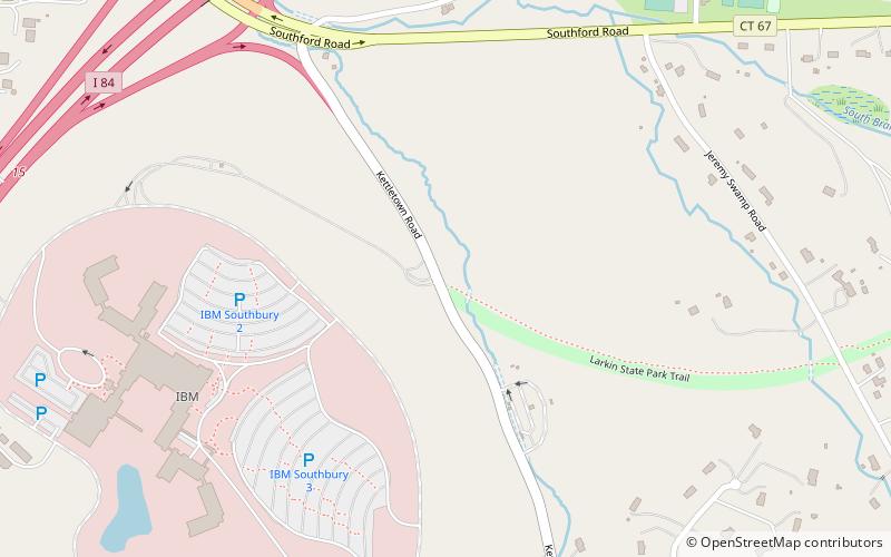
Larkin State Park Trail is a Connecticut rail trail that follows the former New York & New England Railroad roadbed across the towns of Southbury, Oxford, Middlebury, and Naugatuck. The trail is 10.3 miles long; its eastern terminus is at Whittemore Glen State Park, the western at Kettletown Road in Southbury. The trail is open for hiking, biking, horseback riding, and cross-country skiing. ()
Length: 10.3 miElevation: 400 ft a.s.l.Coordinates: 41°28'21"N, 73°12'25"W
Day trips
Larkin State Park Trail – popular in the area (distance from the attraction)
Nearby attractions include: Quassy Amusement Park, Glebe House, St. Rose of Lima Church, Middlebury Parks and Recreation.
