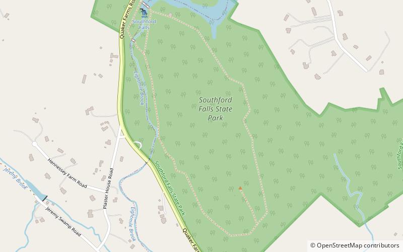
Southford Falls State Park

Gallery (1)
Map
Map
Facts and practical information
Southford Falls State Park is a public recreation area covering 126 acres in the towns of Oxford and Southbury, Connecticut. The state park offers fishing, hiking, waterfalls, and a covered bridge over Eight Mile Brook. It is managed by the Connecticut Department of Energy and Environmental Protection. ()
Established: 1932 (94 years ago)Coordinates: 41°27'15"N, 73°9'46"W
Day trips