Magic Island, Charleston
Map

Map

Facts and practical information
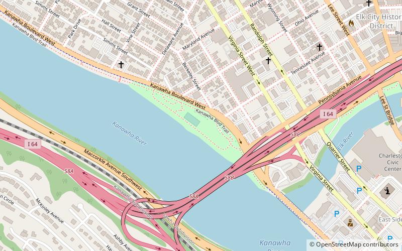
Magic Island is an island in the Kanawha River near its confluence with the Elk River in Charleston, West Virginia. Kanawha Boulevard separates Magic Island from Charleston's West Side neighborhood. It serves as a public park for the city. The island gained its name due to the rise and fall of the river level in the Kanawha, which caused the island to slip underwater, as if by "magic". ()
Elevation: 574 ft a.s.l.Coordinates: 38°21'27"N, 81°38'56"W
Day trips
Magic Island – popular in the area (distance from the attraction)
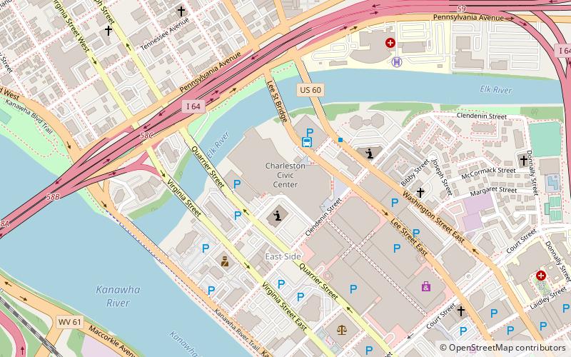
Nearby attractions include: Charleston Town Center, Charleston Coliseum & Convention Center, Clay Center, Charleston Municipal Auditorium.
Frequently Asked Questions (FAQ)
Which popular attractions are close to Magic Island?
Nearby attractions include Luna Park Historic District, Charleston (10 min walk), Fort Scammon, Charleston (14 min walk), Charleston Municipal Auditorium, Charleston (15 min walk), Kanawha County Courthouse, Charleston (18 min walk).
How to get to Magic Island by public transport?
The nearest stations to Magic Island:
Bus
Train
Bus
- Greyhound Bus Station (13 min walk)
Train
- Charleston (25 min walk)


