Dry River, White Mountain National Forest
Map
Facts and practical information
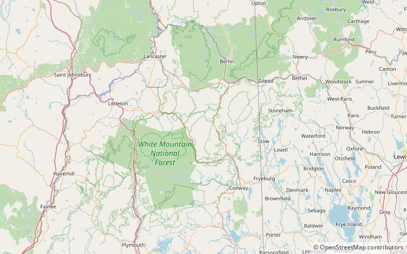
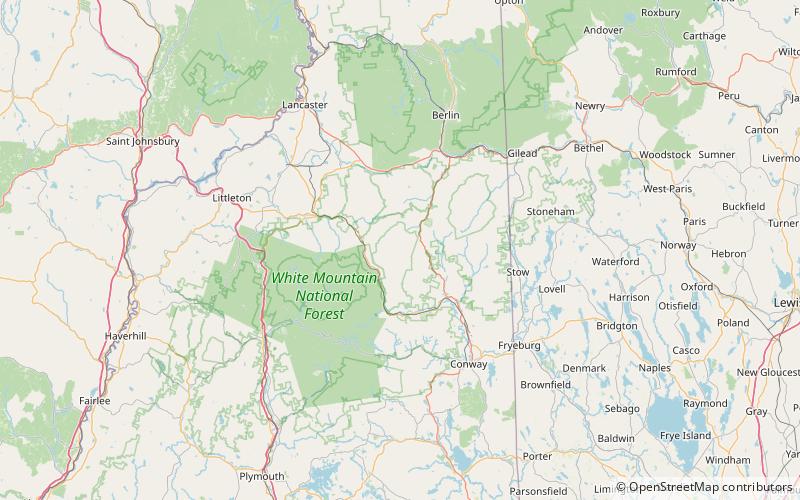
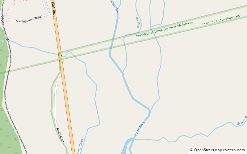
The Dry River is a 9.0-mile-long river in the White Mountains of New Hampshire in the United States. It is a tributary of the Saco River, which flows to the Atlantic Ocean in Maine. For nearly its entire length, it is within the Presidential Range-Dry River Wilderness of the White Mountain National Forest. ()
Length: 9 miCoordinates: 44°8'42"N, 71°21'40"W
Address
White Mountain National Forest
ContactAdd
Social media
Add
Day trips